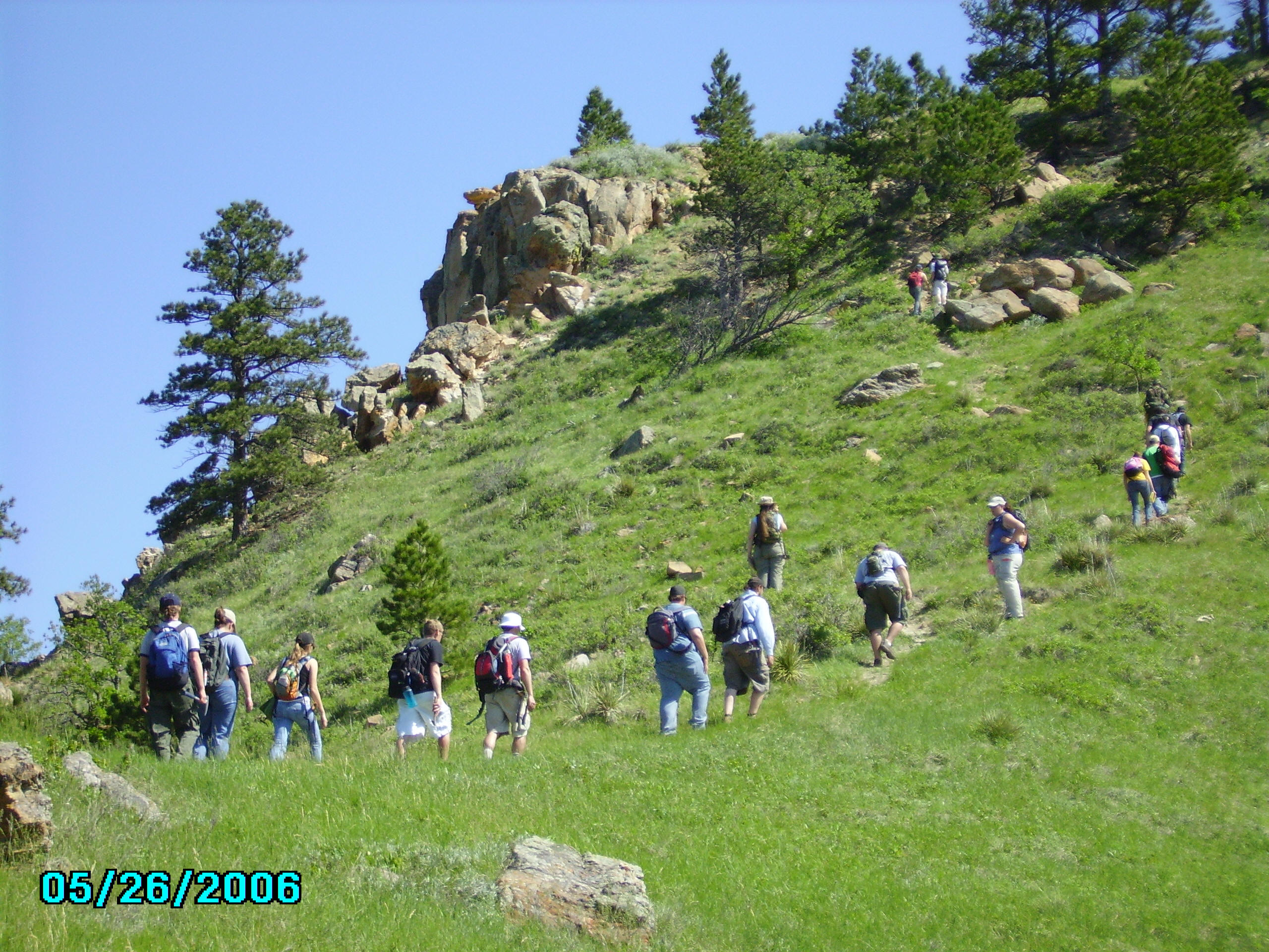
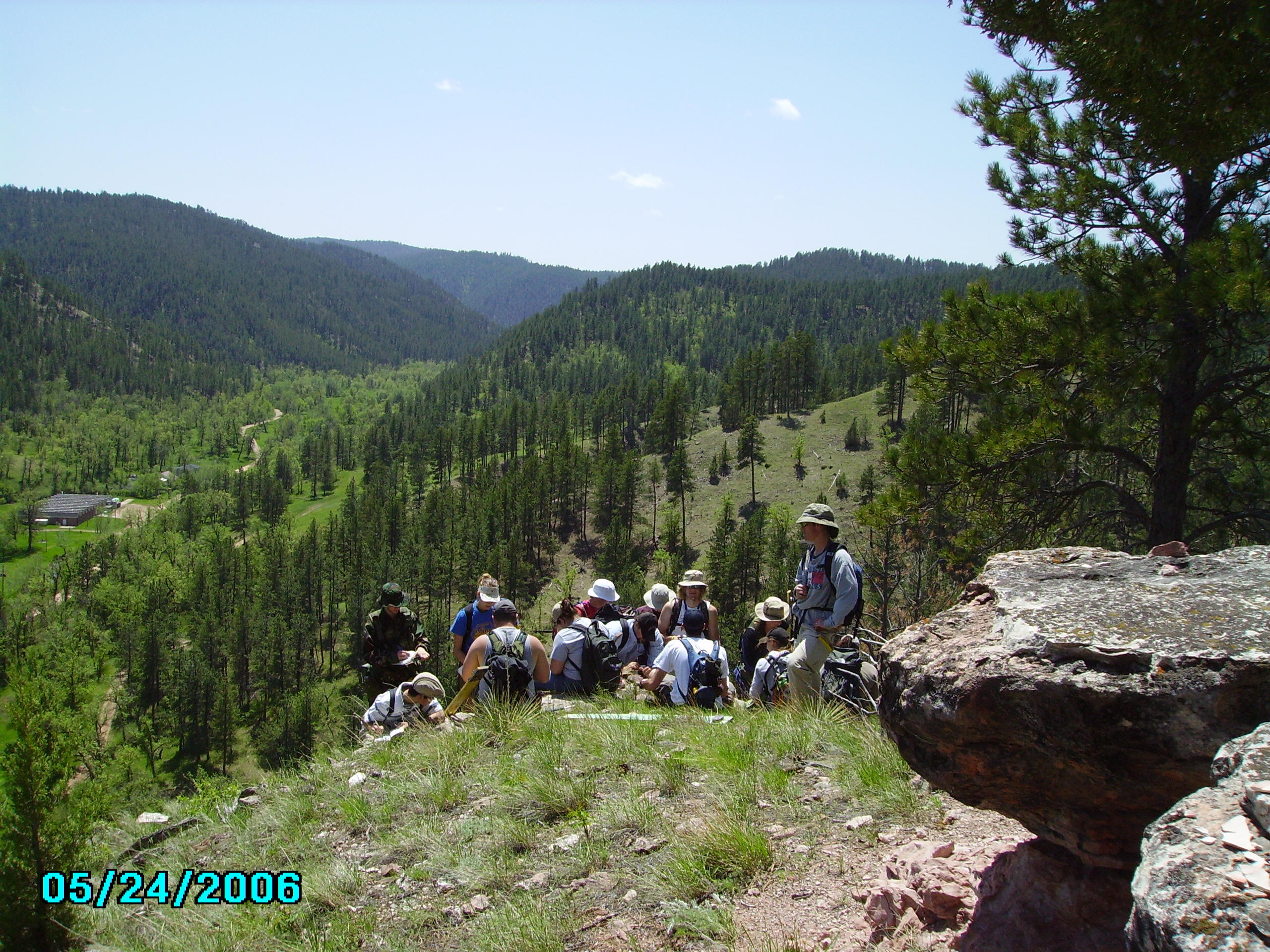
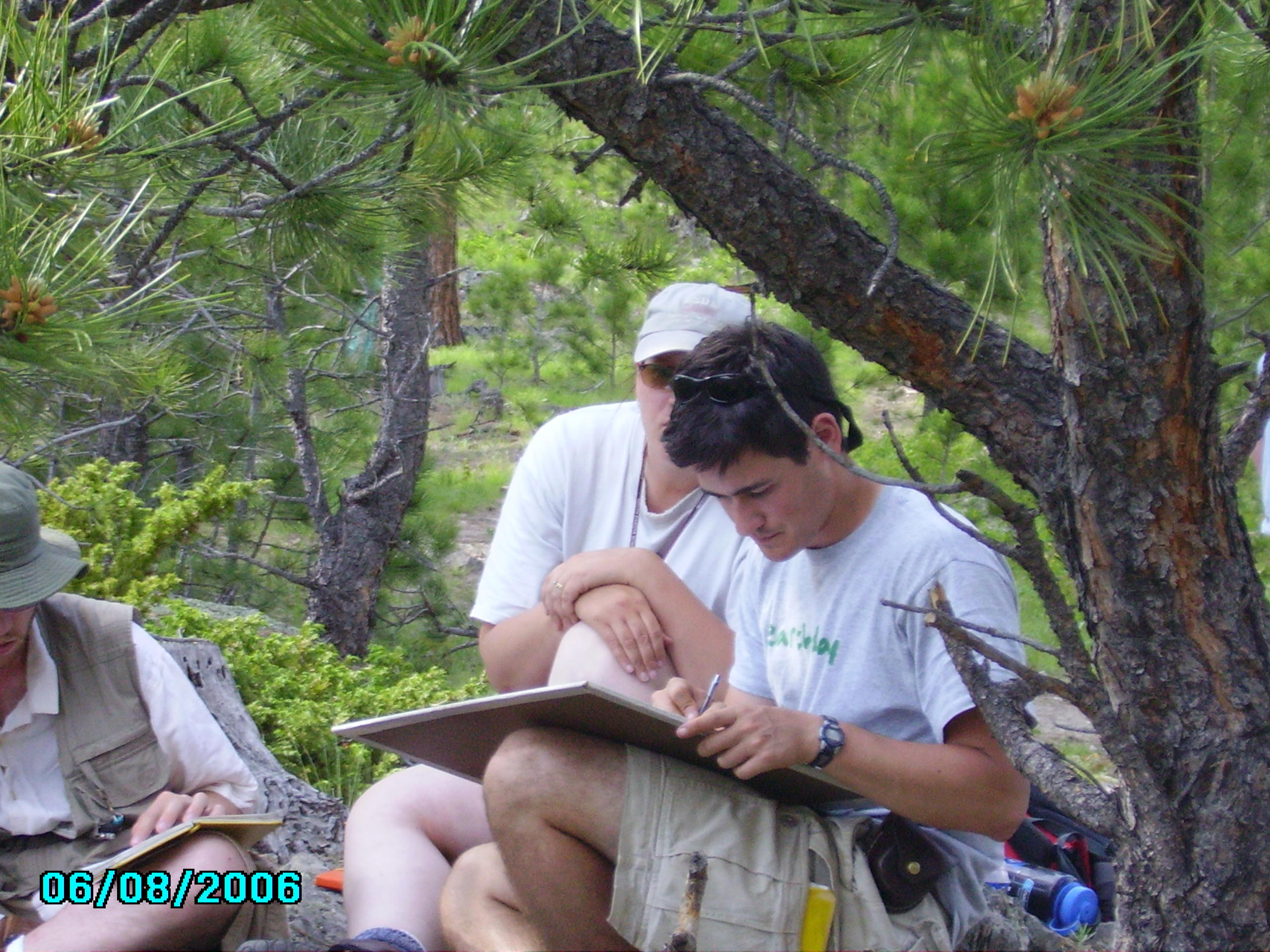
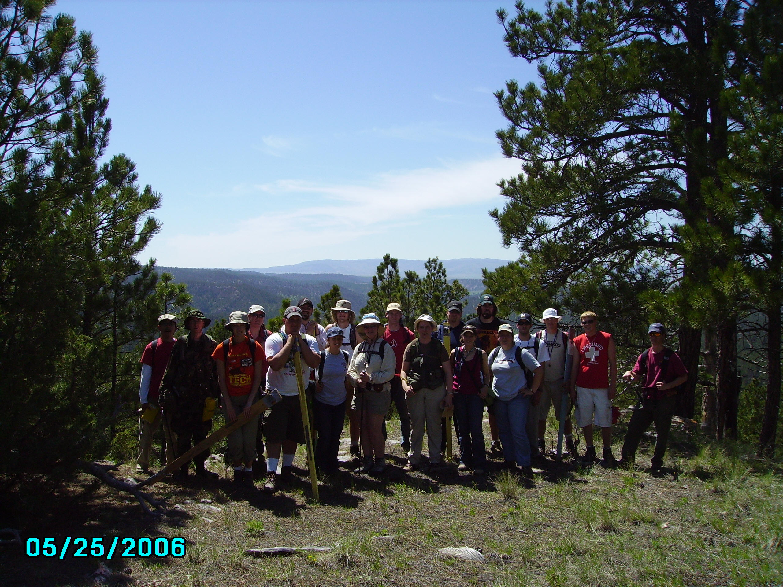
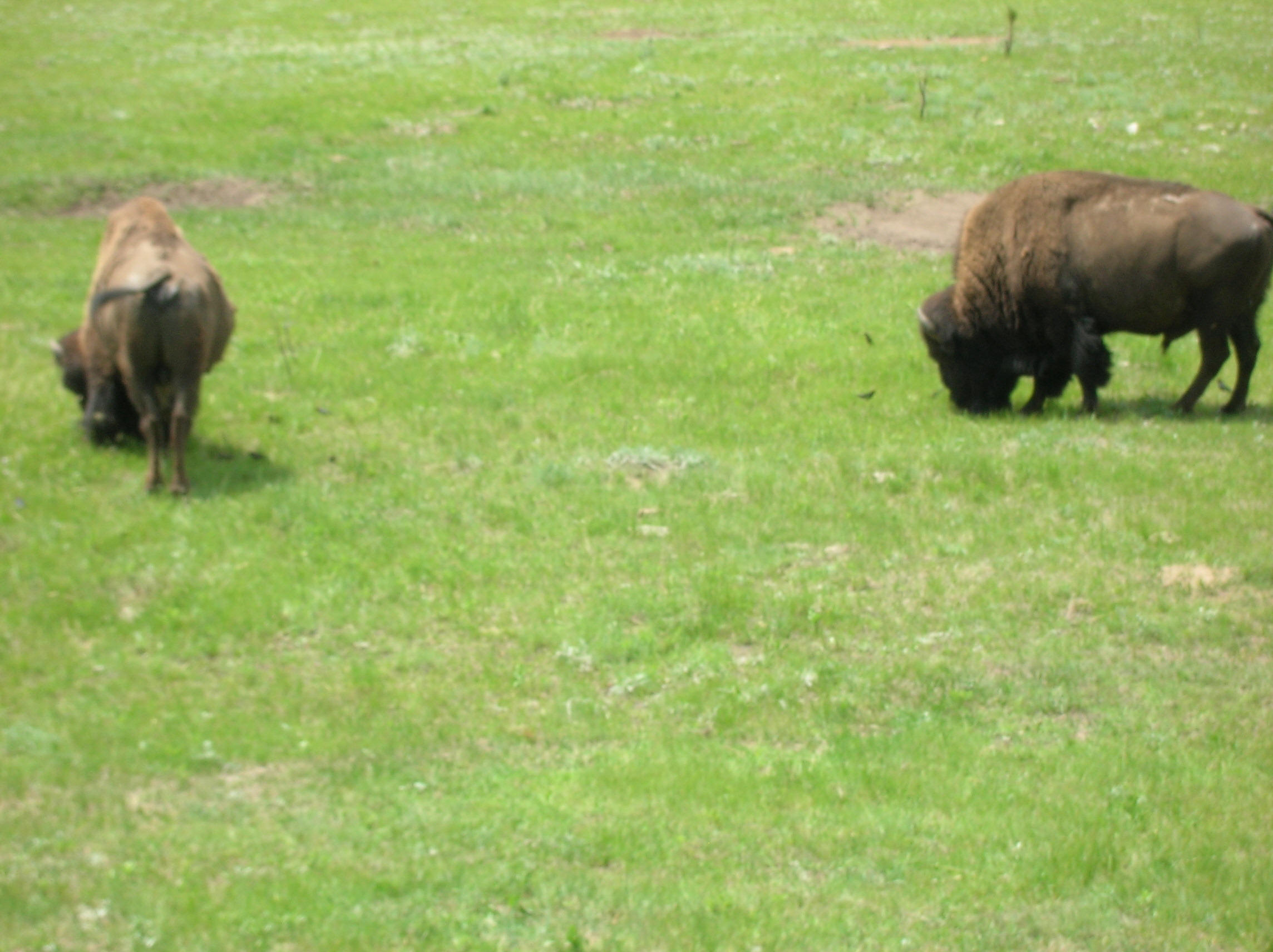
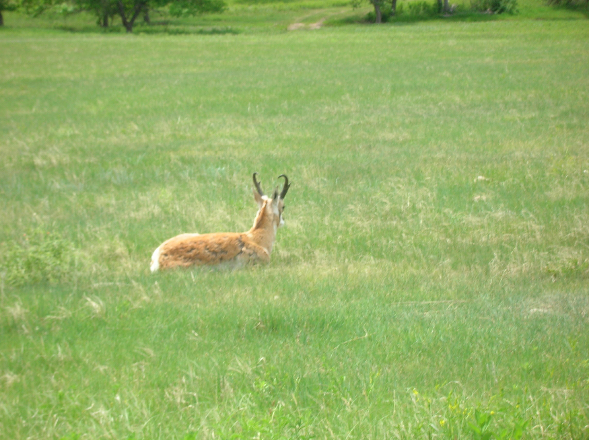
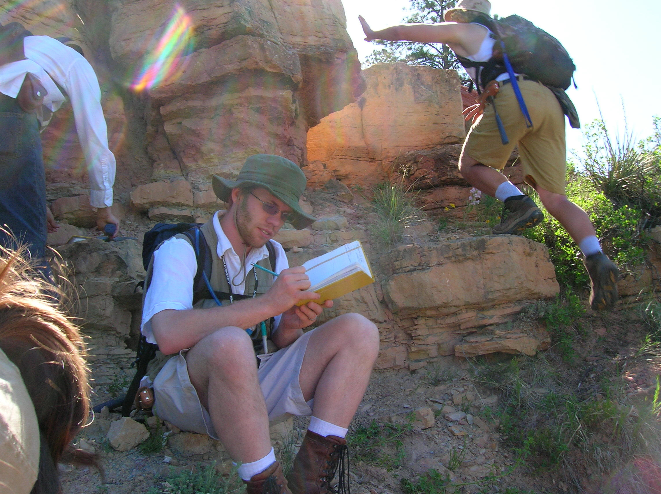
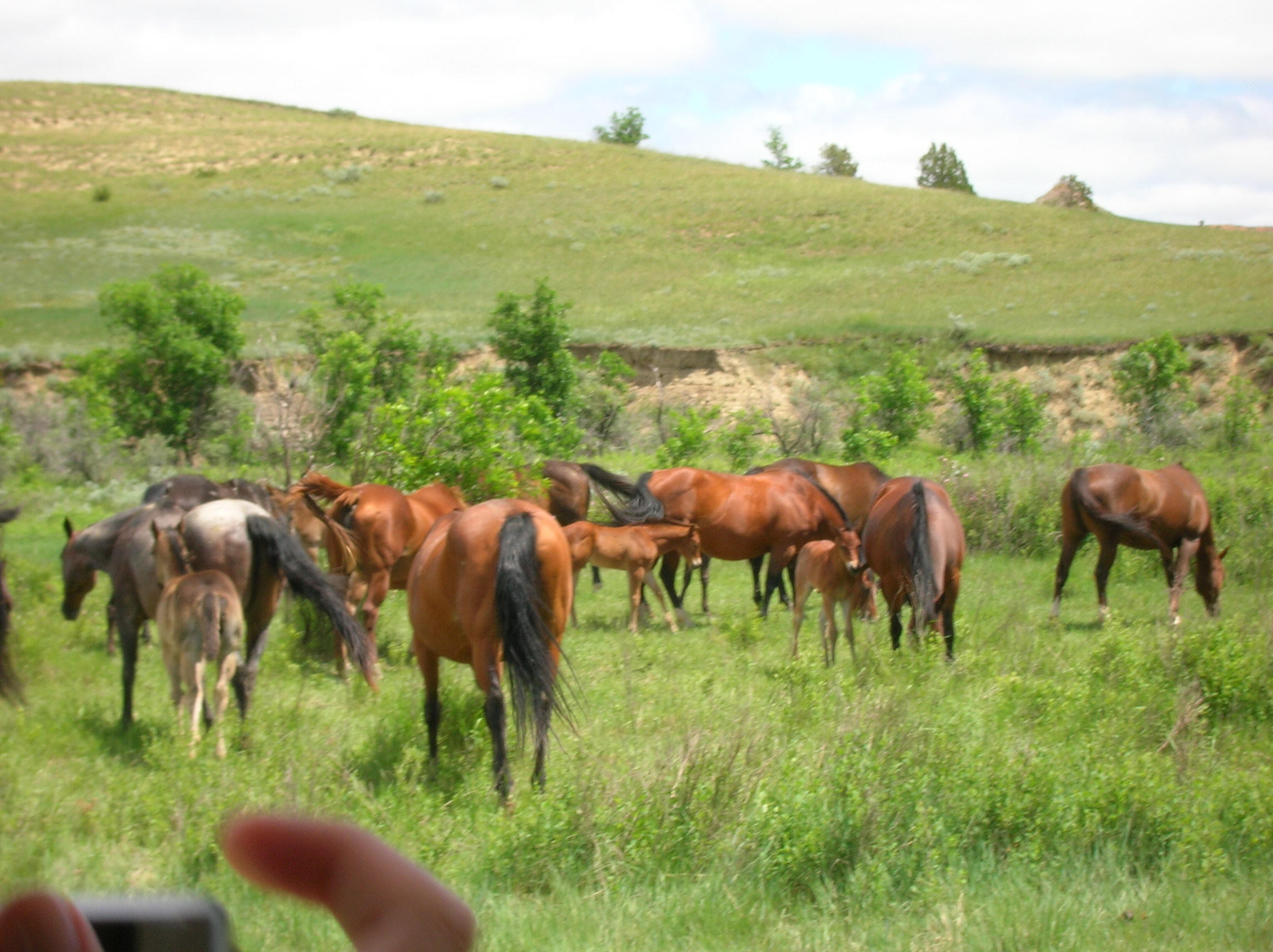
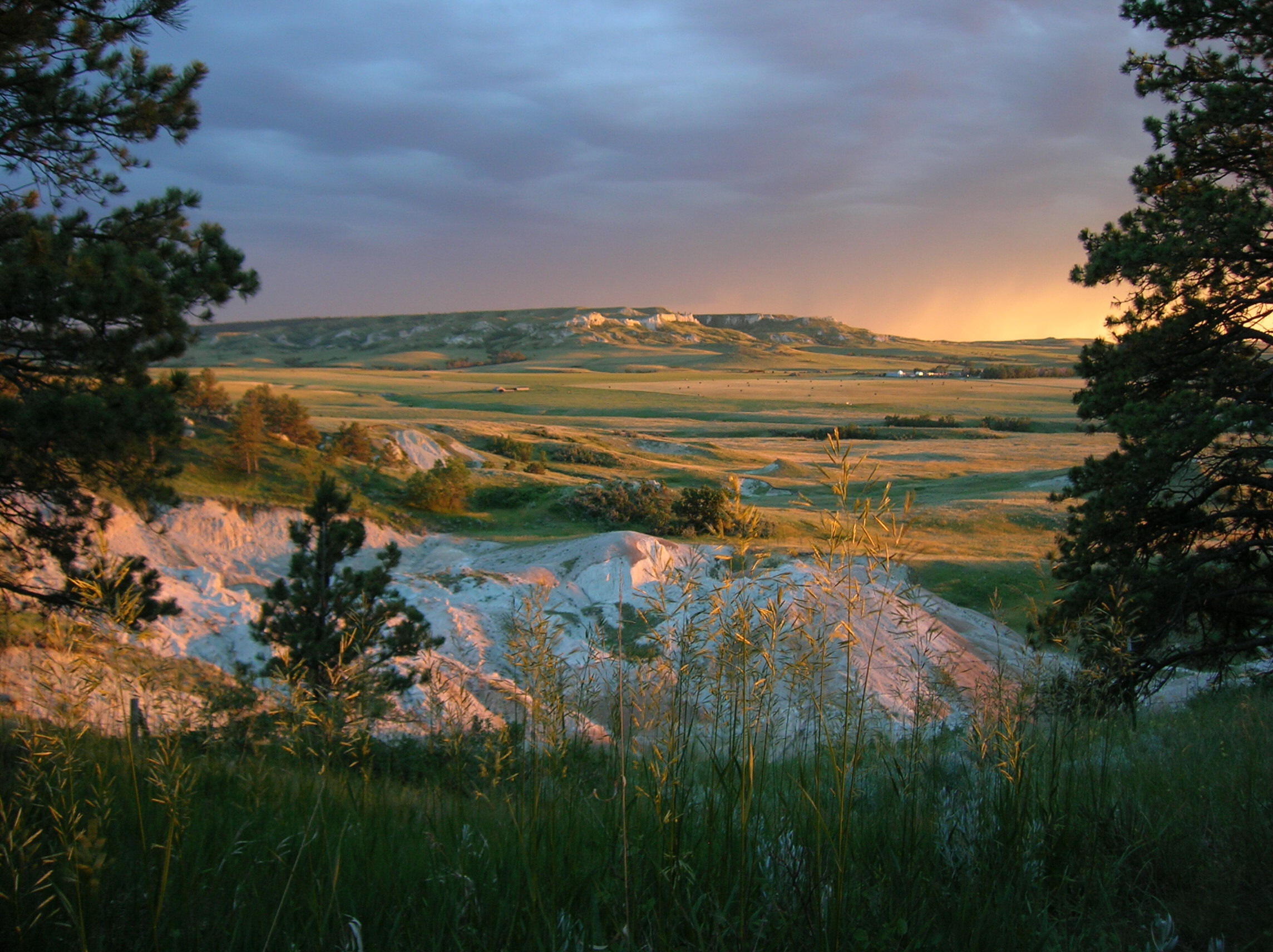
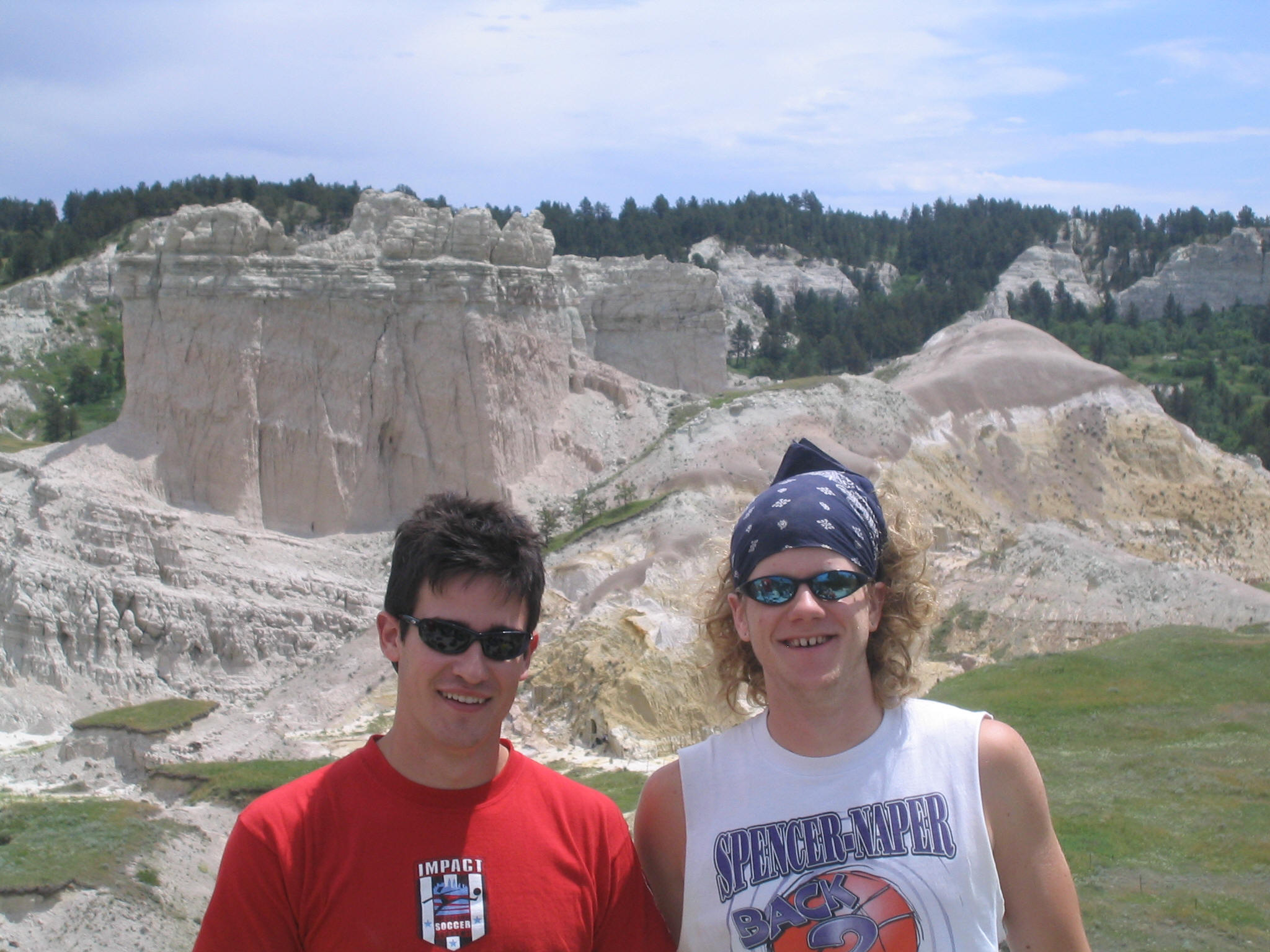
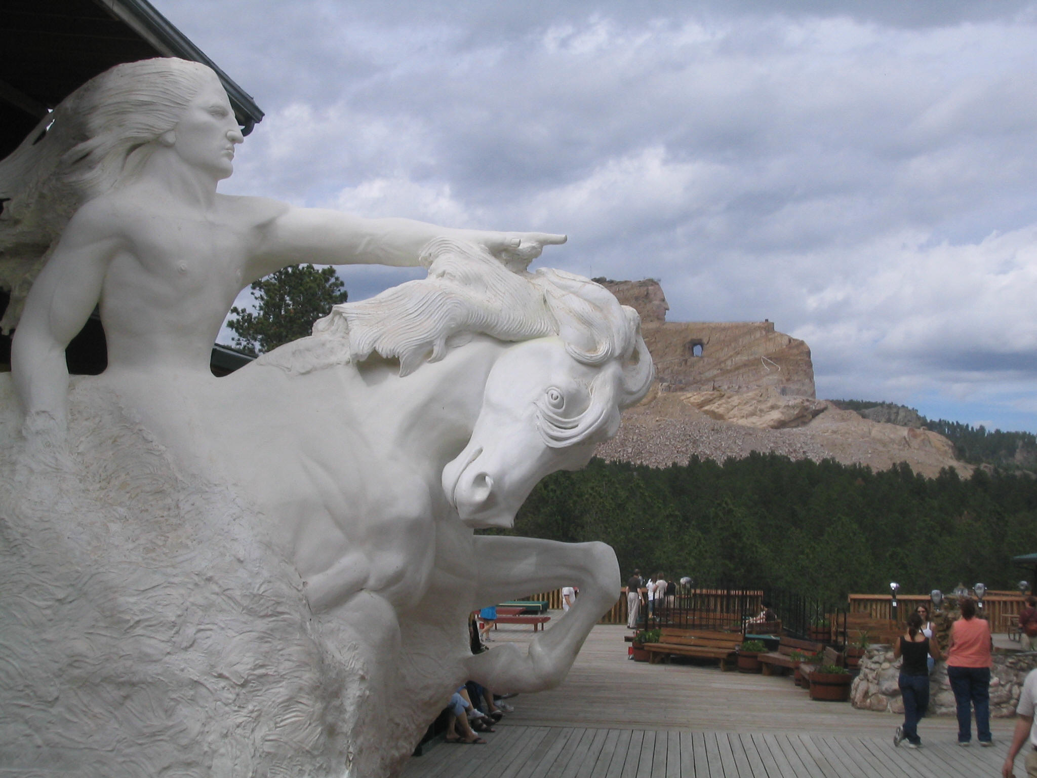
The following photographs document student fieldwork at the Ranch A geology field camp in the Black Hills of South Dakota and Wyoming. Images show students engaged in geologic mapping, stratigraphic measurement, rock identification, and group field sessions across the region’s diverse geological formations.
Camp photographs are updated periodically. If you have photos from a recent session you’d like to contribute, contact nuri.uzunlar@sdsmt.edu.
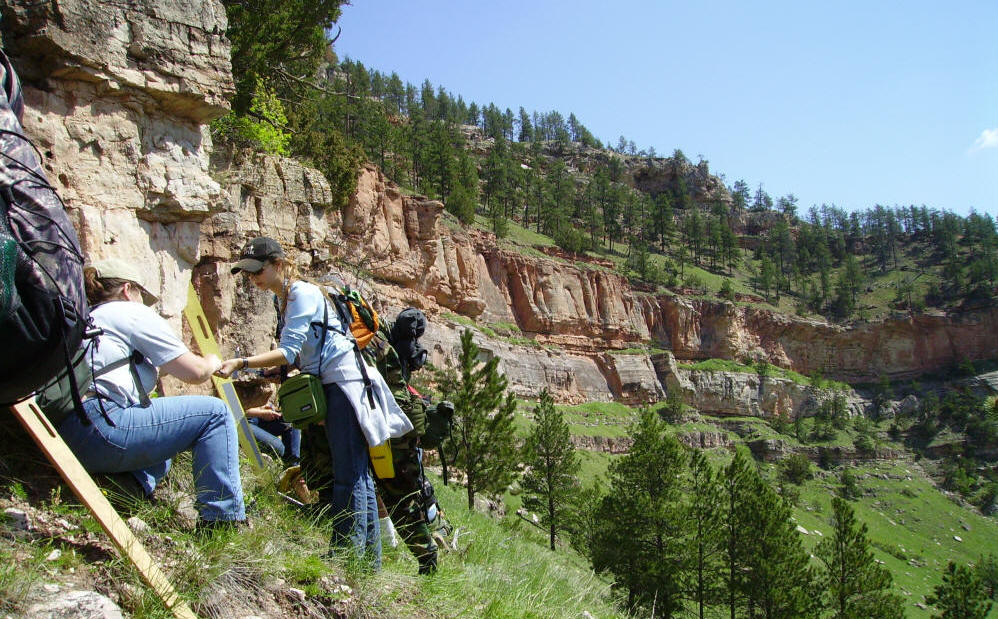
Outcrop examination, Black Hills
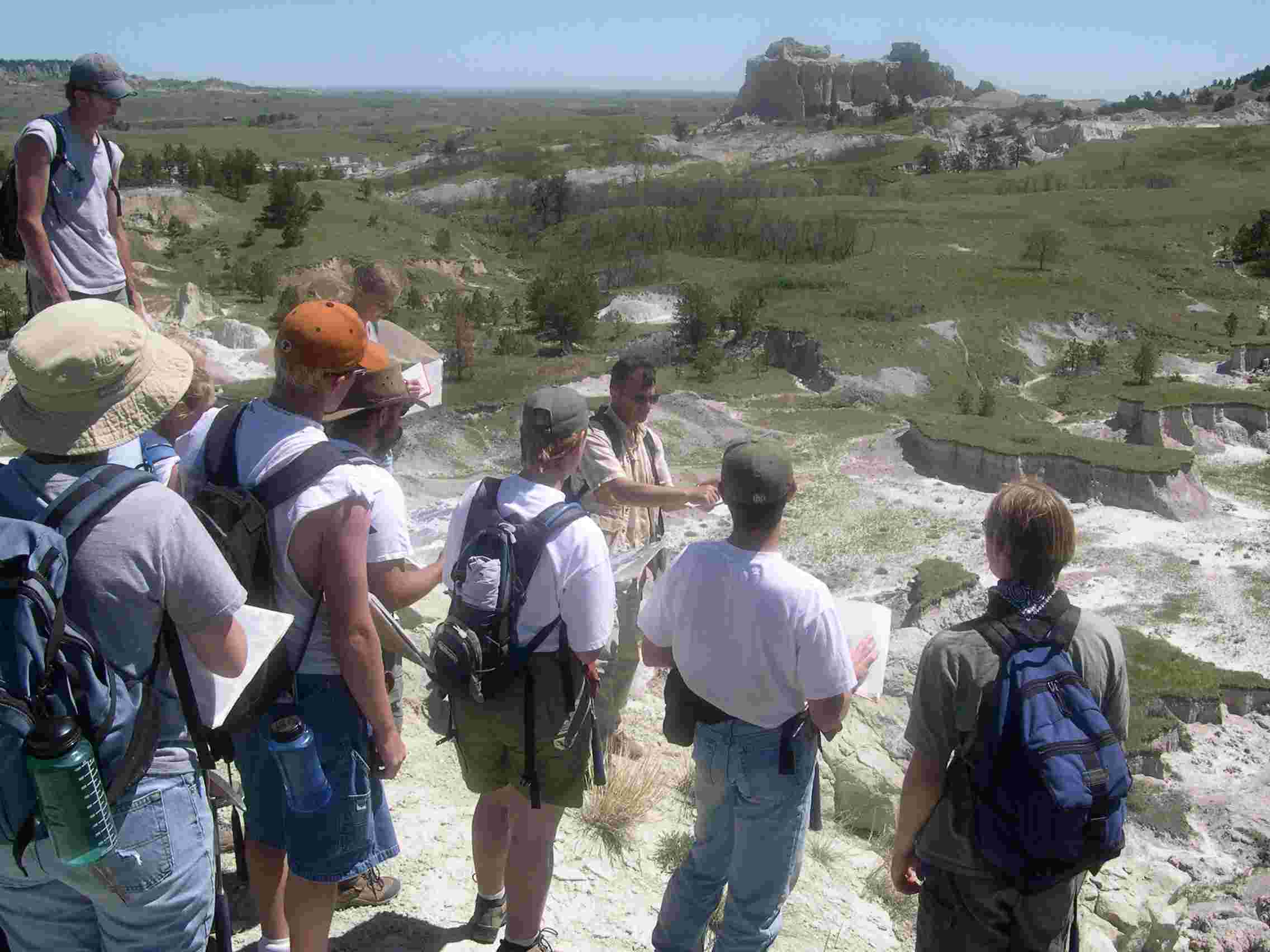
Geologic mapping, Black Hills SD
Dark Canyon field site (2017)
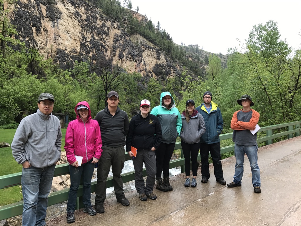
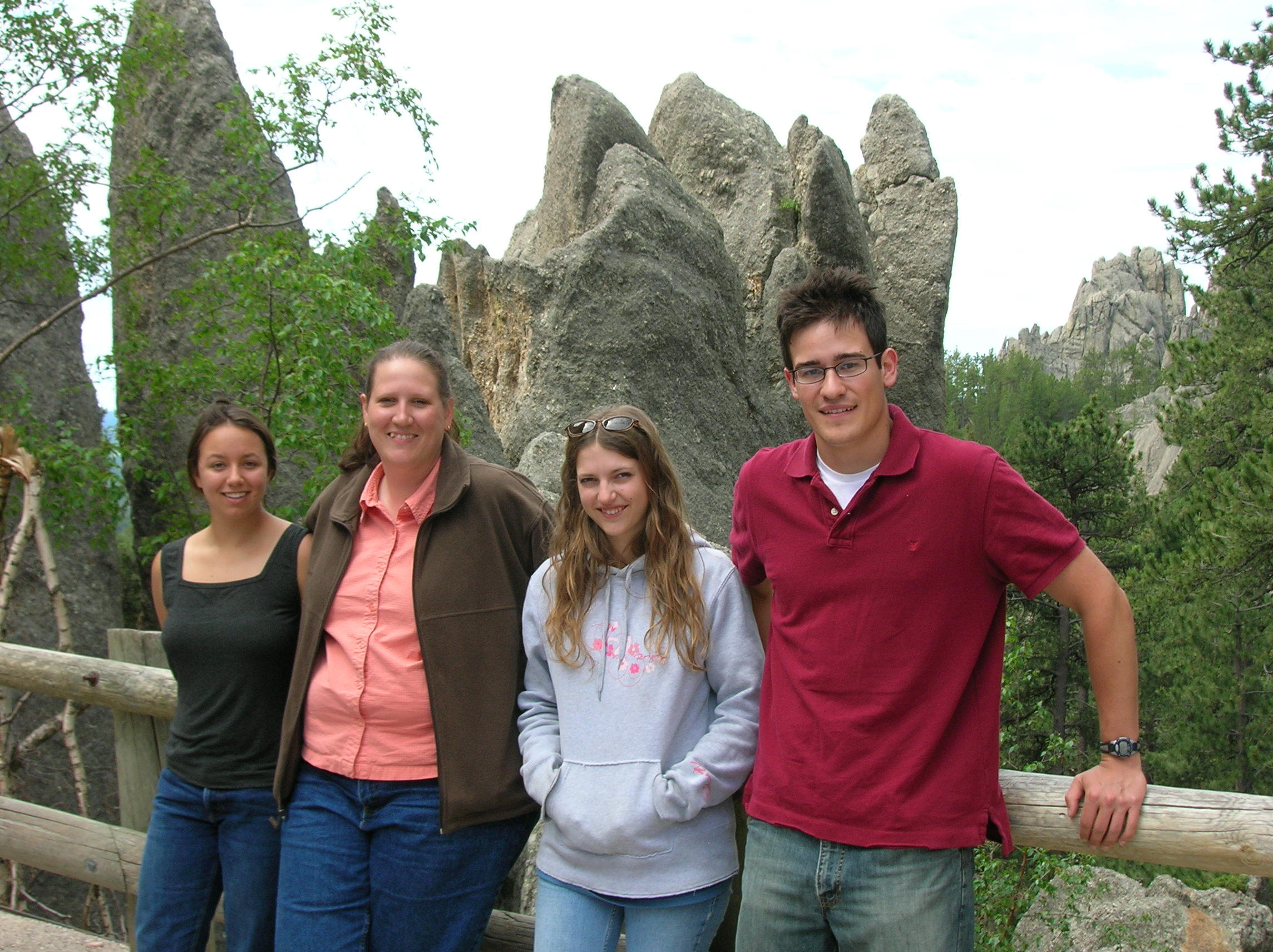
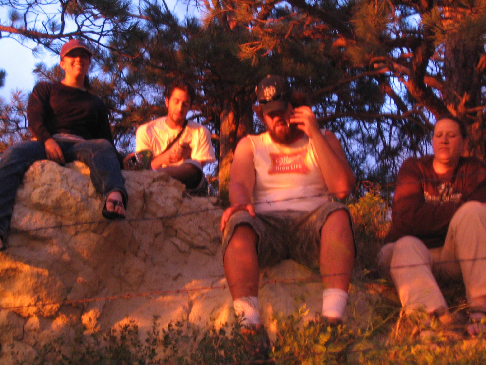
Field camp group, Black Hills
Ranch A — stratigraphic section
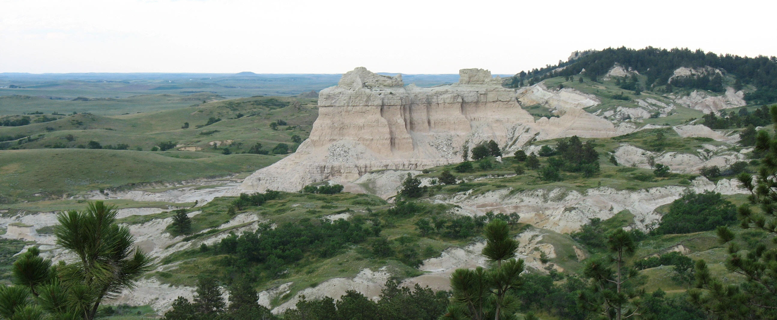
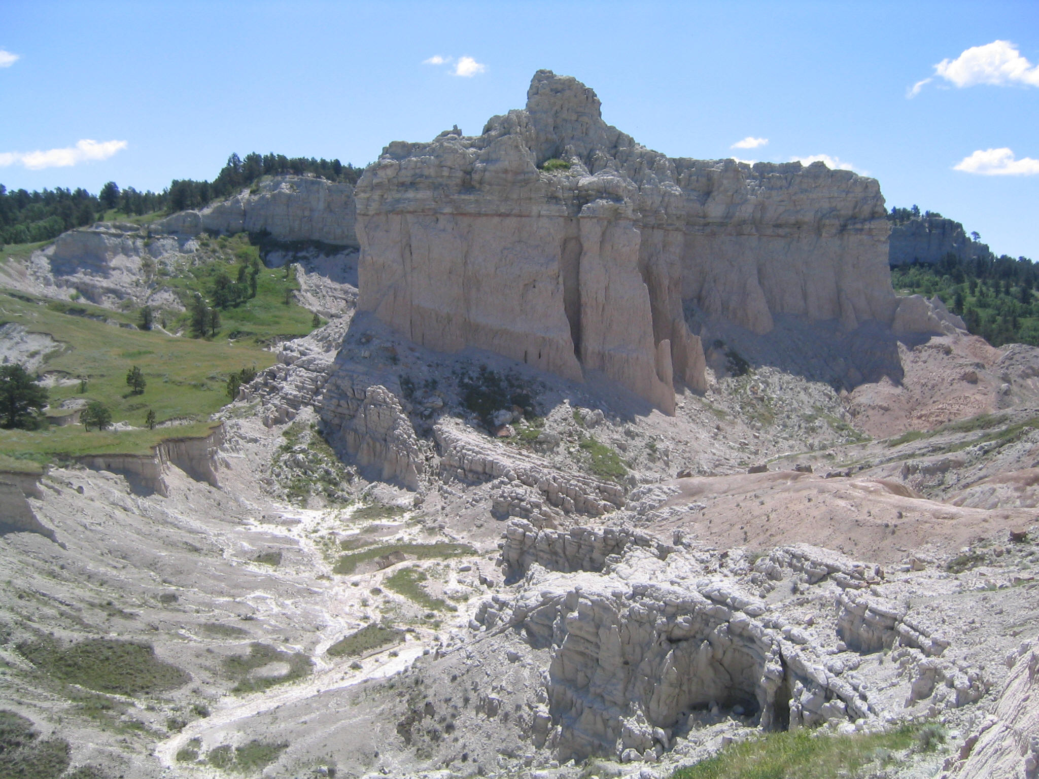
Black Hills outcrop
Ranch A geologic mapping
Rock exposures, Ranch A
Ranch A field site
Ranch A mapping project
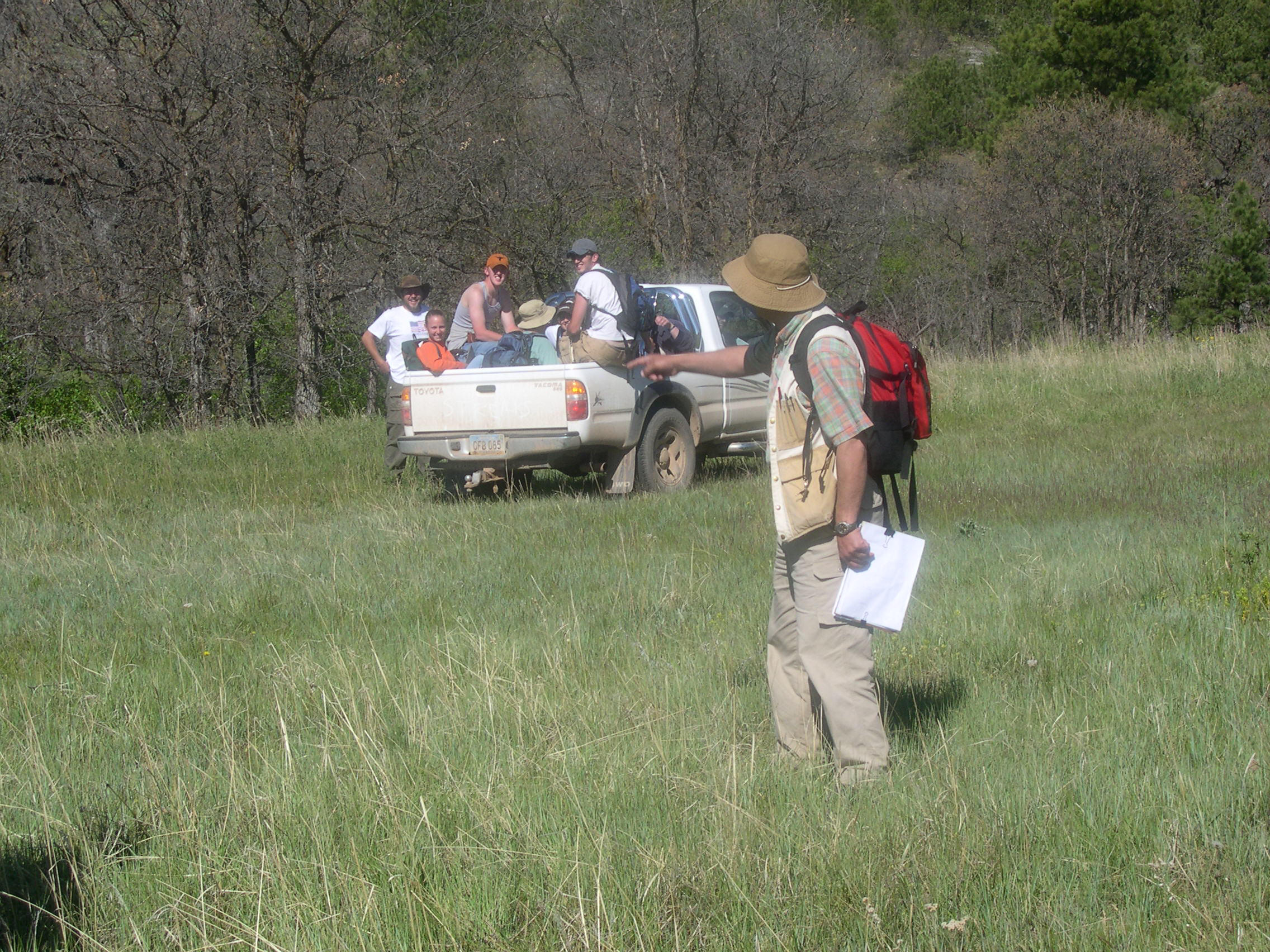
Field data review, Ranch A
Ranch A headquarters, BHNSFS
Ranch A facility
Field camp session, Ranch A
Ranch A geology, Black Hills
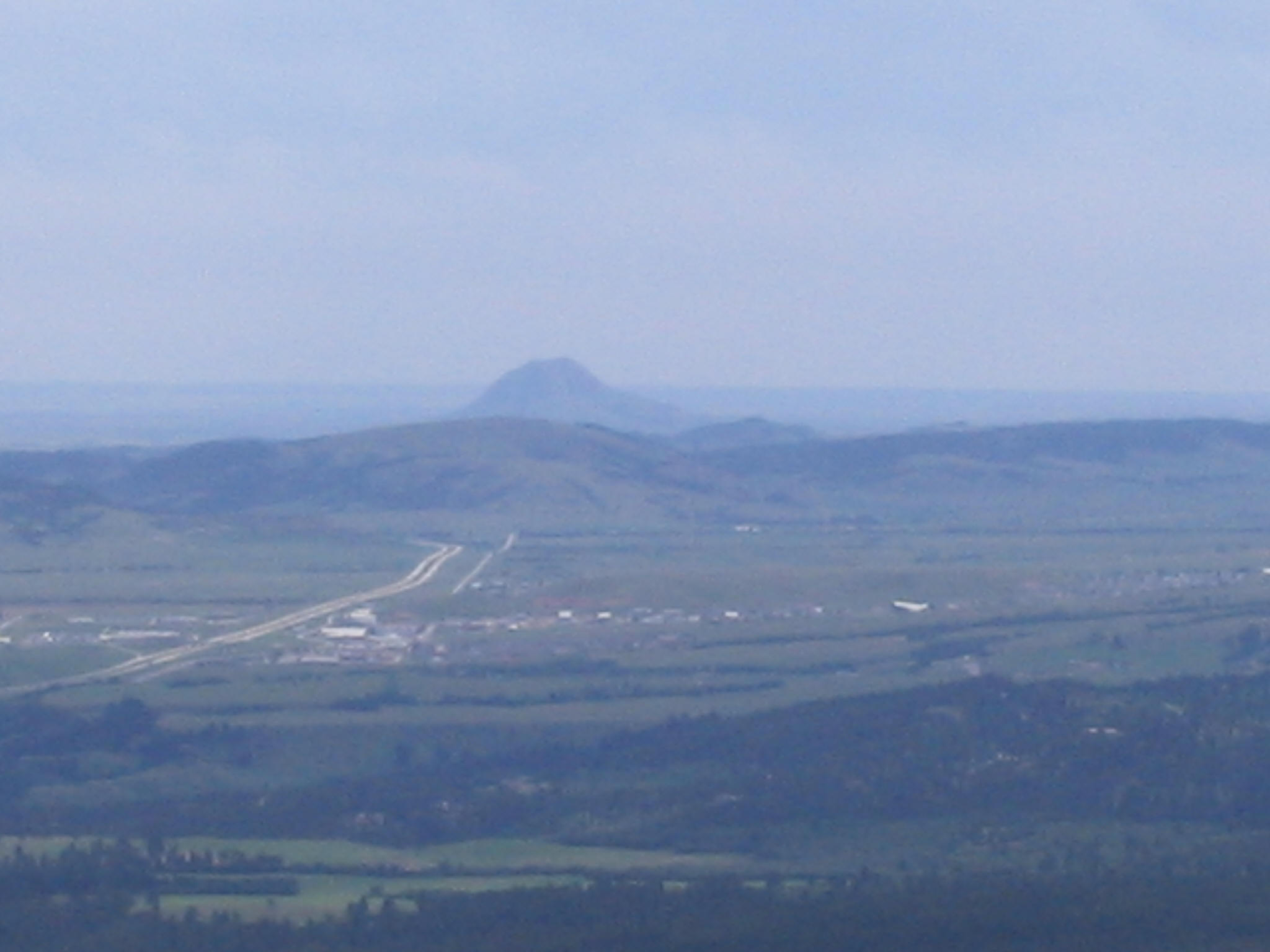
Black Hills landscape, Ranch A
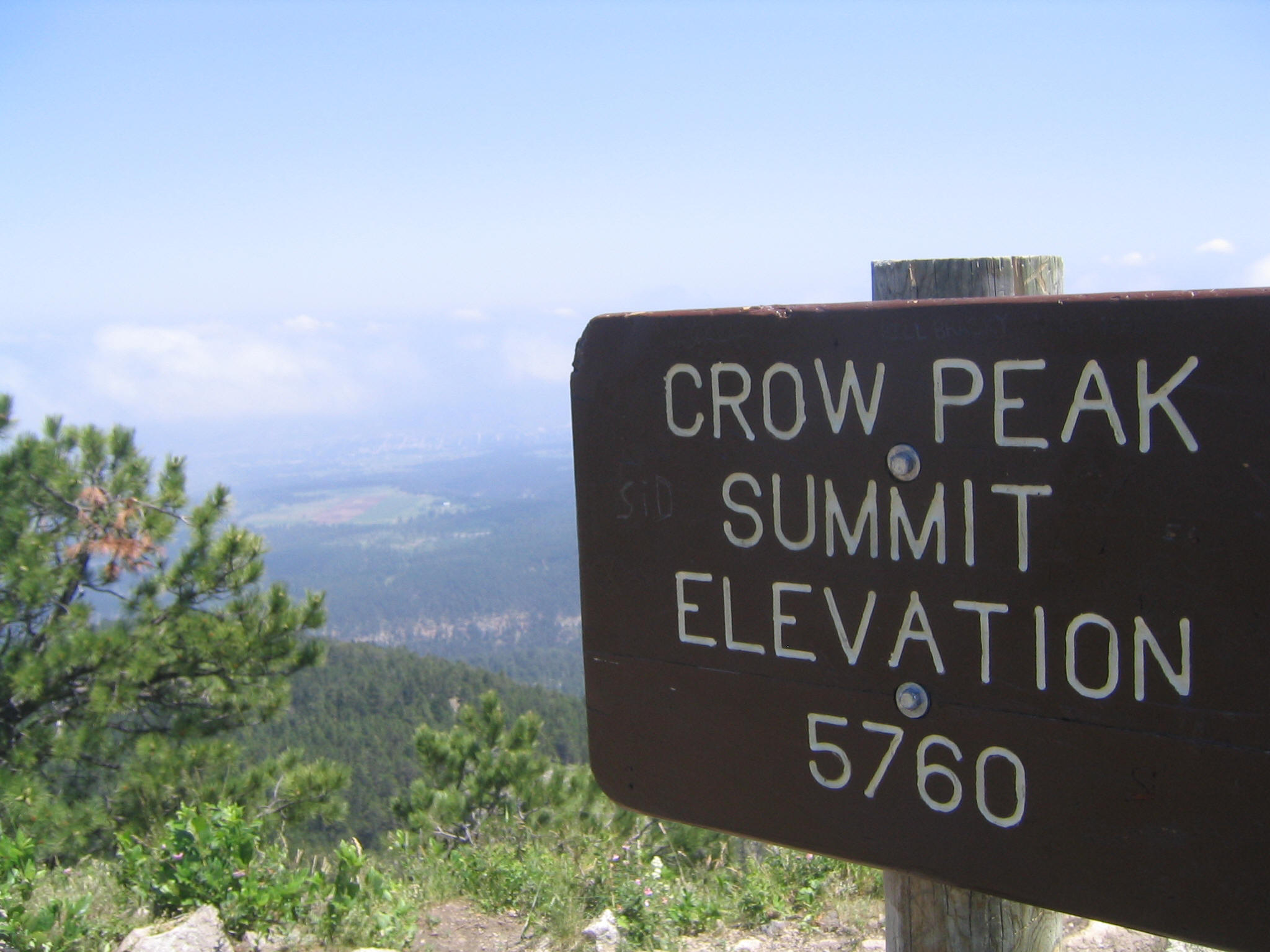
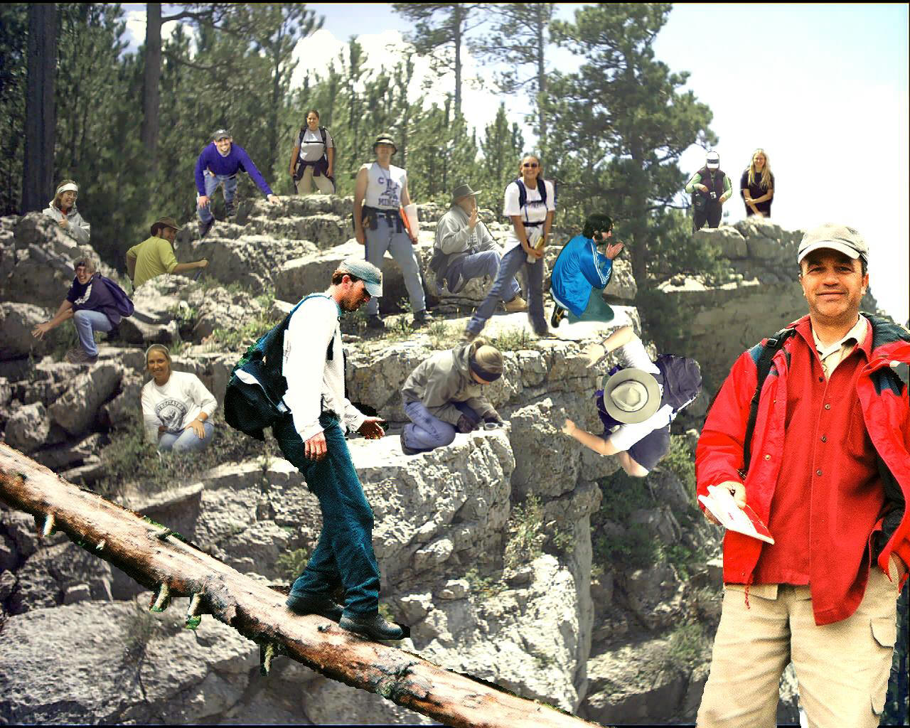
Hiking in the Black Hills
Ranch A facility and outcrops
Geologic mapping near Ranch A
Field camp, Black Hills
Black Hills field site
Ranch A field camp activity
Rock outcrop examination
Black Hills mapping
Black Hills geological locality
Field camp group photo
Ranch A field station
Field camp study session
Photography from Ranch A field camp, Black Hills, South Dakota and Wyoming. Students are shown conducting geological mapping, measuring stratigraphic sections, and working with outcrop samples across the Precambrian, Paleozoic, and Tertiary rock sequences of the region.
For photos from the Türkiye International Field Camp, see the Türkiye Photos page.