Not offered in 2026. Next session scheduled for May 22 – June 10, 2027. Contact Dr. Putkonen or Dr. Uzunlar to express interest.
Introduction
The Nepal Himalaya Field Camp offers an unparalleled opportunity to study geology in the world’s highest mountain range — a landscape shaped by the ongoing collision of the Indian and Eurasian plates. Students investigate metamorphic rocks, glacial geomorphology, and the dramatic landscape evolution of one of Earth’s most active geological environments.
Projects
Four major mapping projects focus on:
- Metamorphic rock mapping and structural analysis
- Geomorphological landform characterization
- Glacial feature identification and mapping
- Regional geological synthesis across the Himalayan sequences
Prerequisites
Completion of the junior year and the following courses (or consent of the Director):
- Physical Geology
- Mineralogy
- Petrology
- Geomorphology
Physical Demands
This is an extremely demanding program. Students work at altitude, often above 3,000 meters, with significant daily elevation gain. Only students in excellent physical condition with prior high-altitude or mountaineering experience should apply.
Climate
Temperatures vary significantly with altitude. At lower elevations, temperatures are warm (60–80°F / 15–27°C). At high altitude, the average daily temperature is 40–50°F (4–10°C) with colder nights. Rain is possible during the pre-monsoon period.
Field Camp Photos
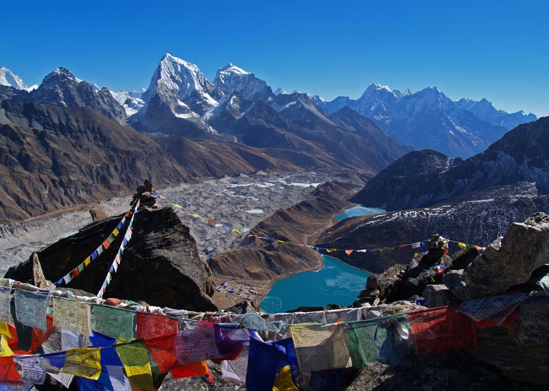
Gokyo-Dudh Koshi glacial valley, Nepal
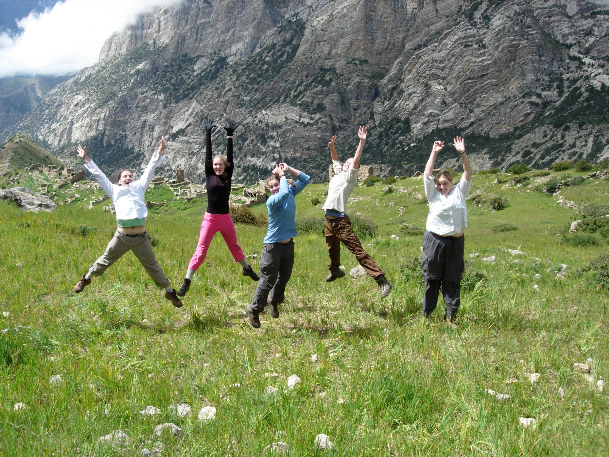
Himalaya trekking geology, Nepal
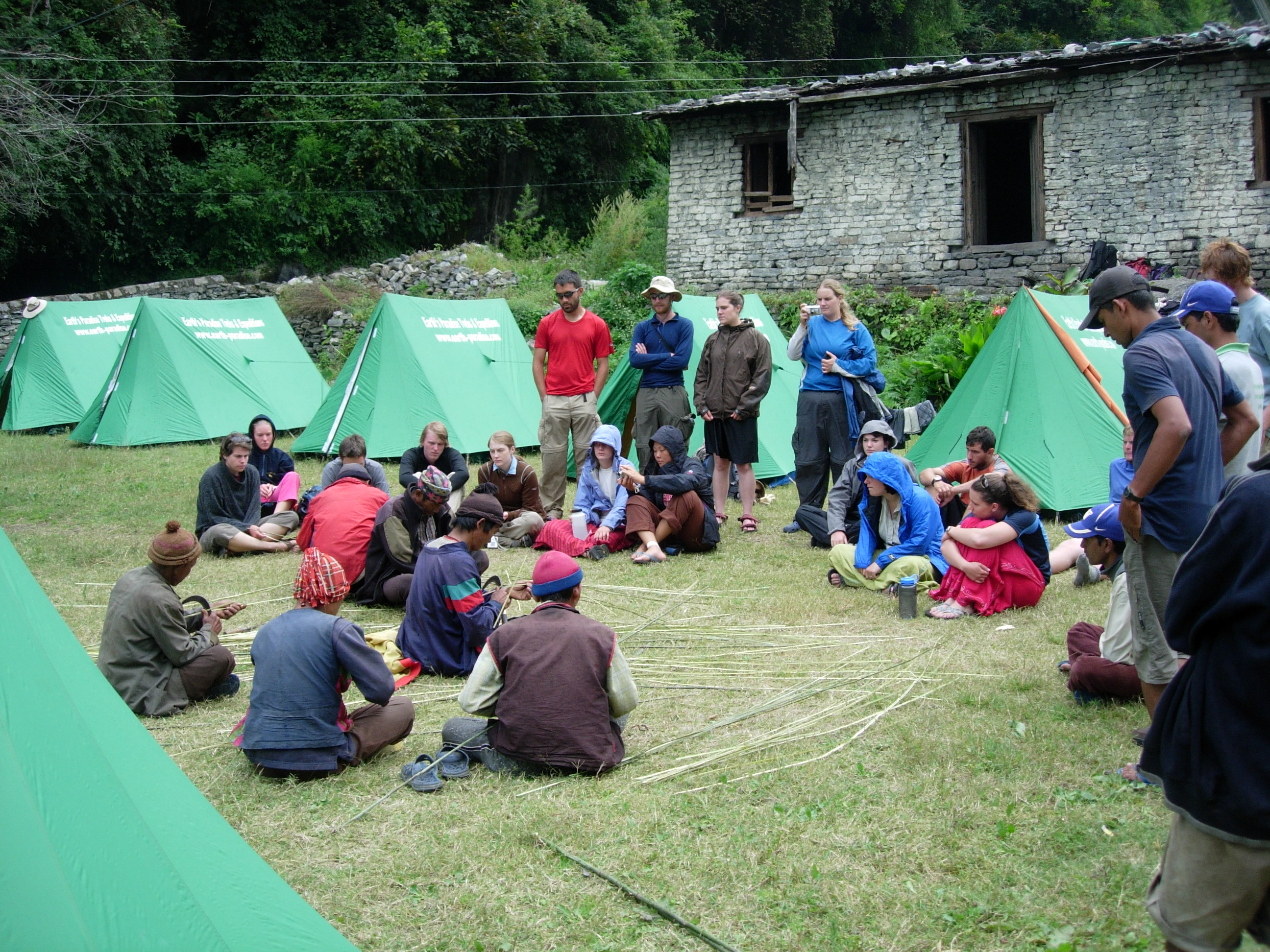
High-altitude mapping, Himalaya
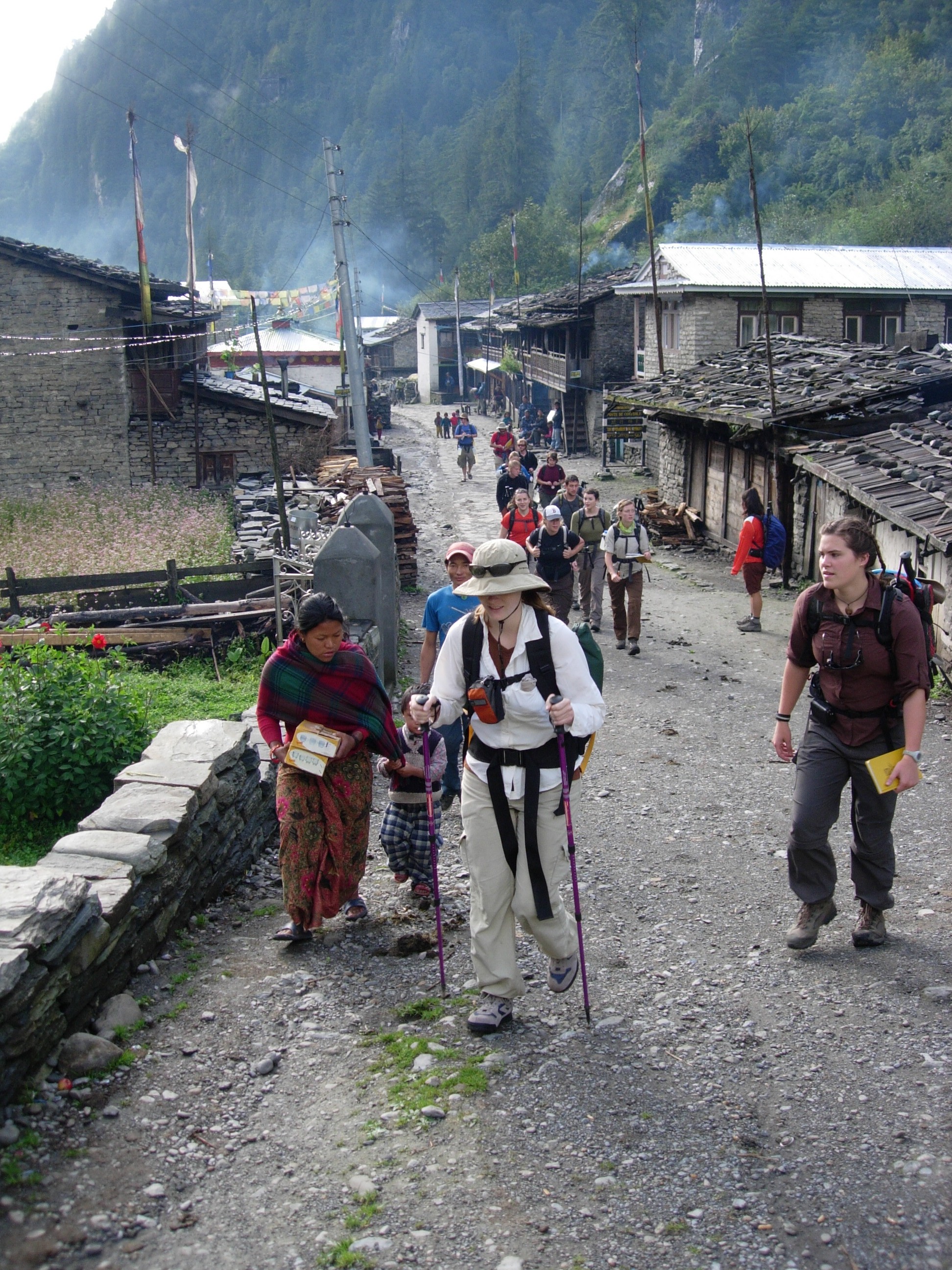
Himalayan thrust sheets, Nepal
Interested in the 2027 Session?
Contact Dr. Putkonen or Dr. Uzunlar to express interest and be notified when registration opens for 2027.
Contact Instructor