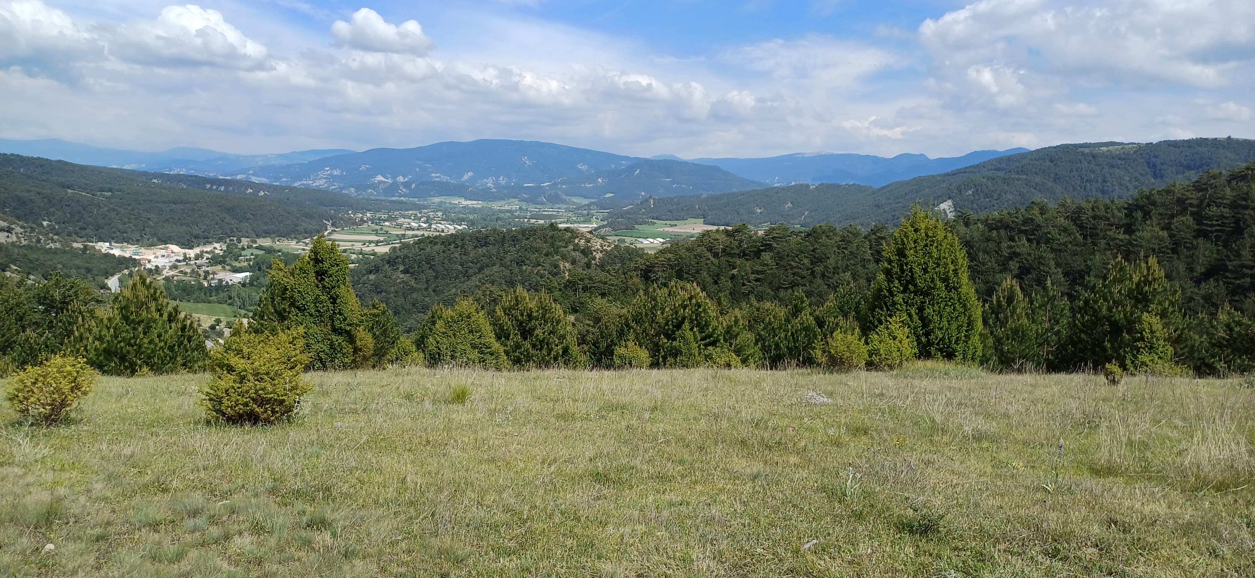
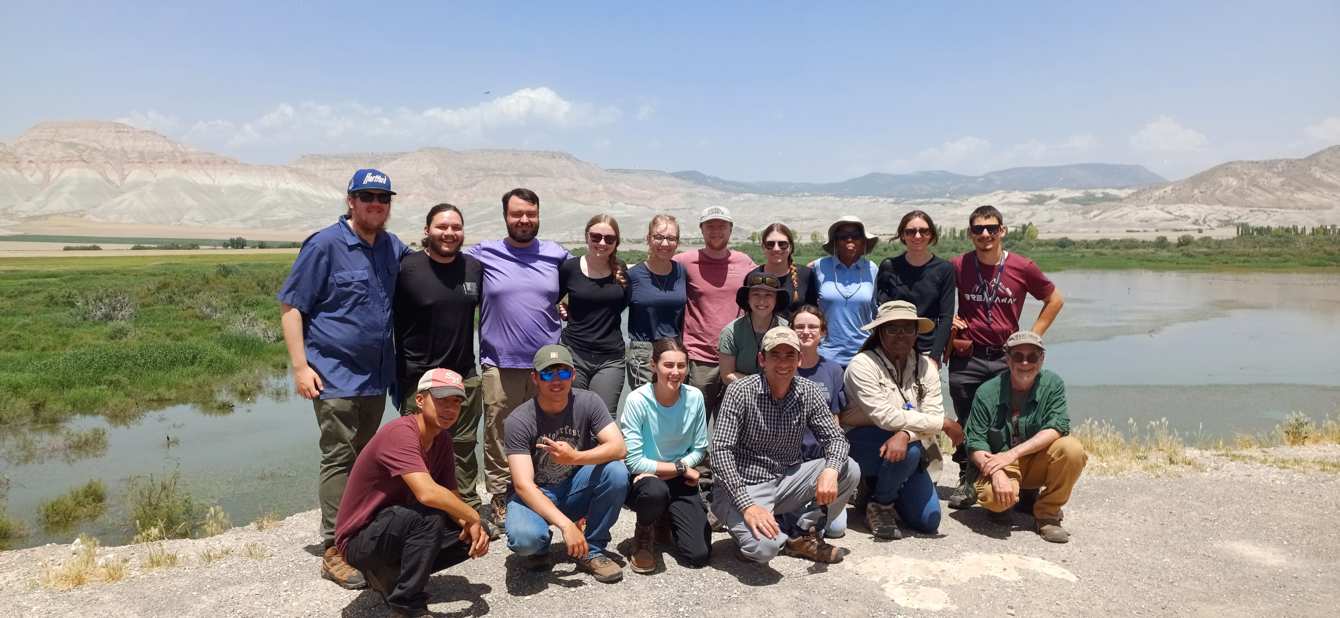
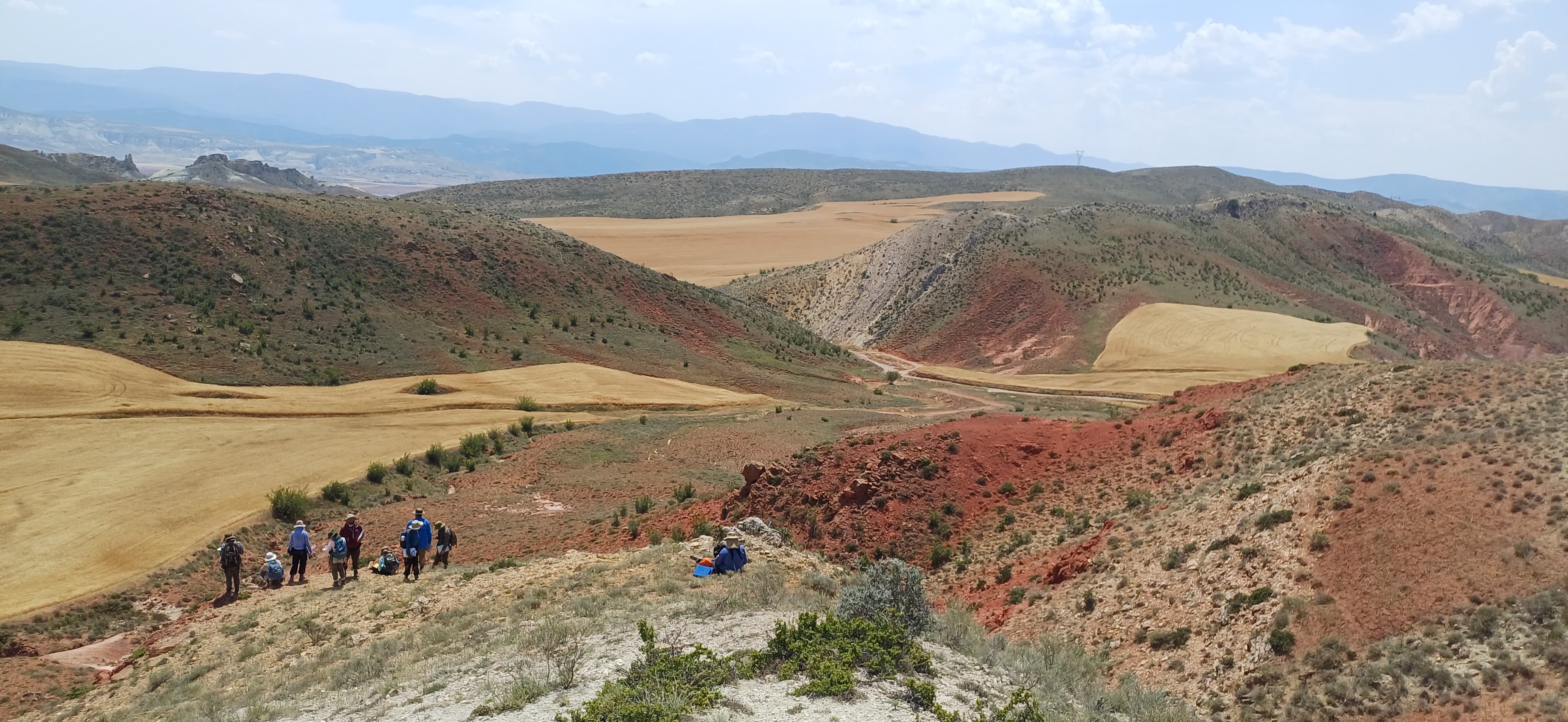
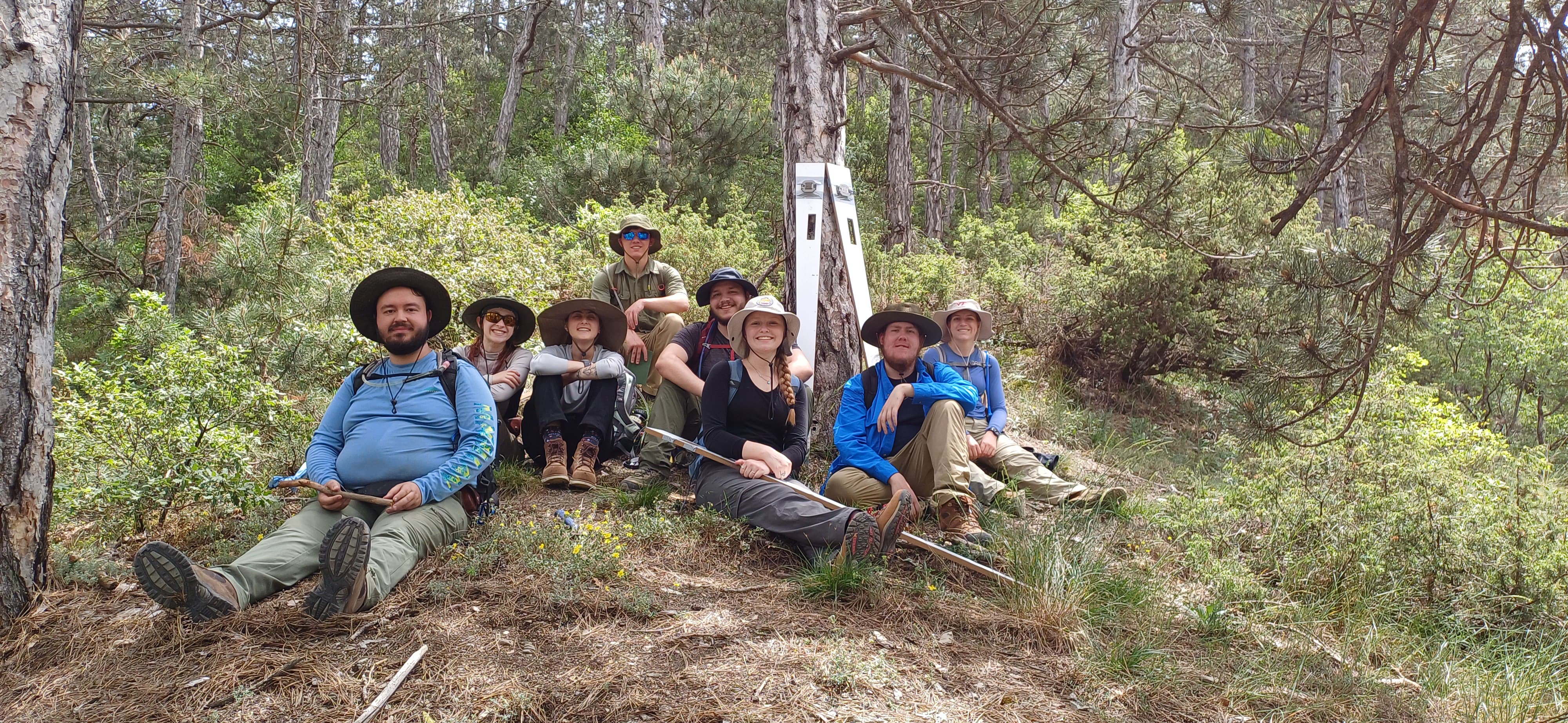
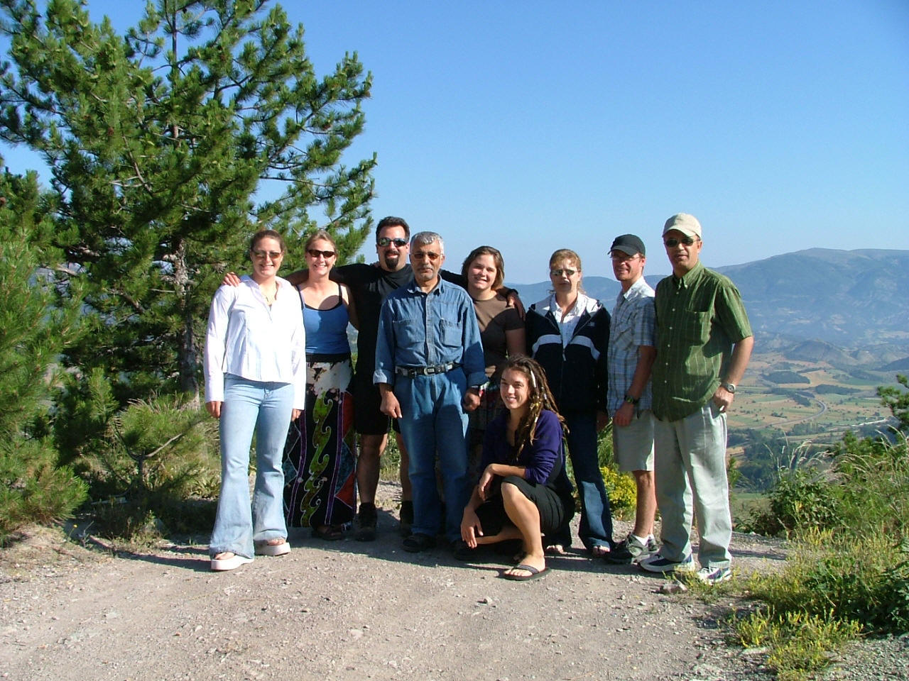
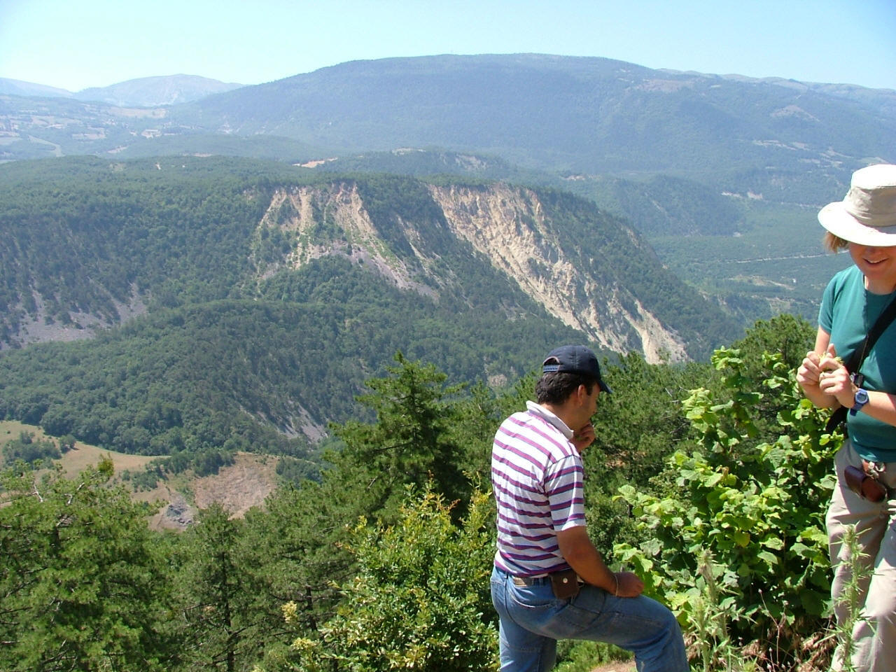
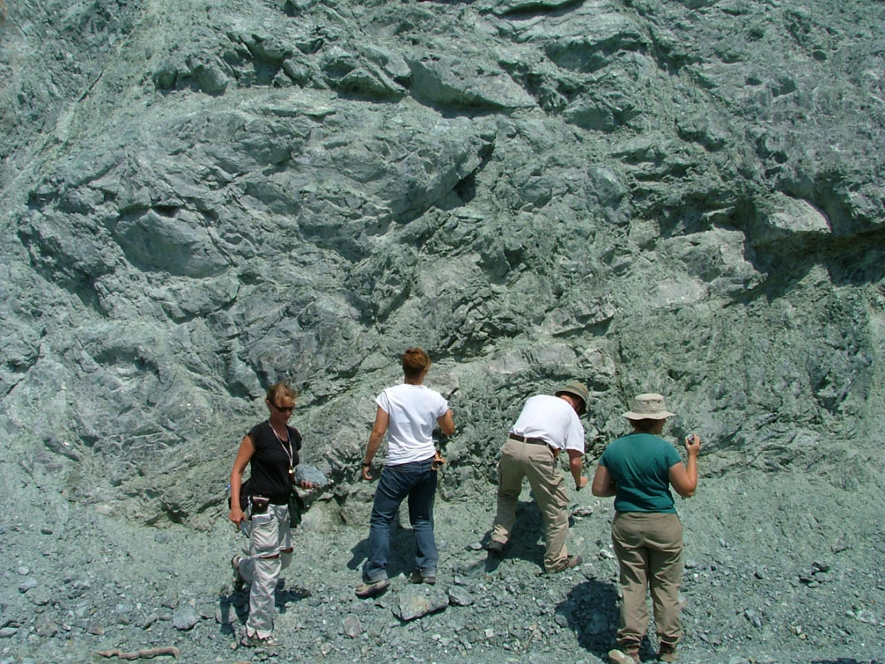
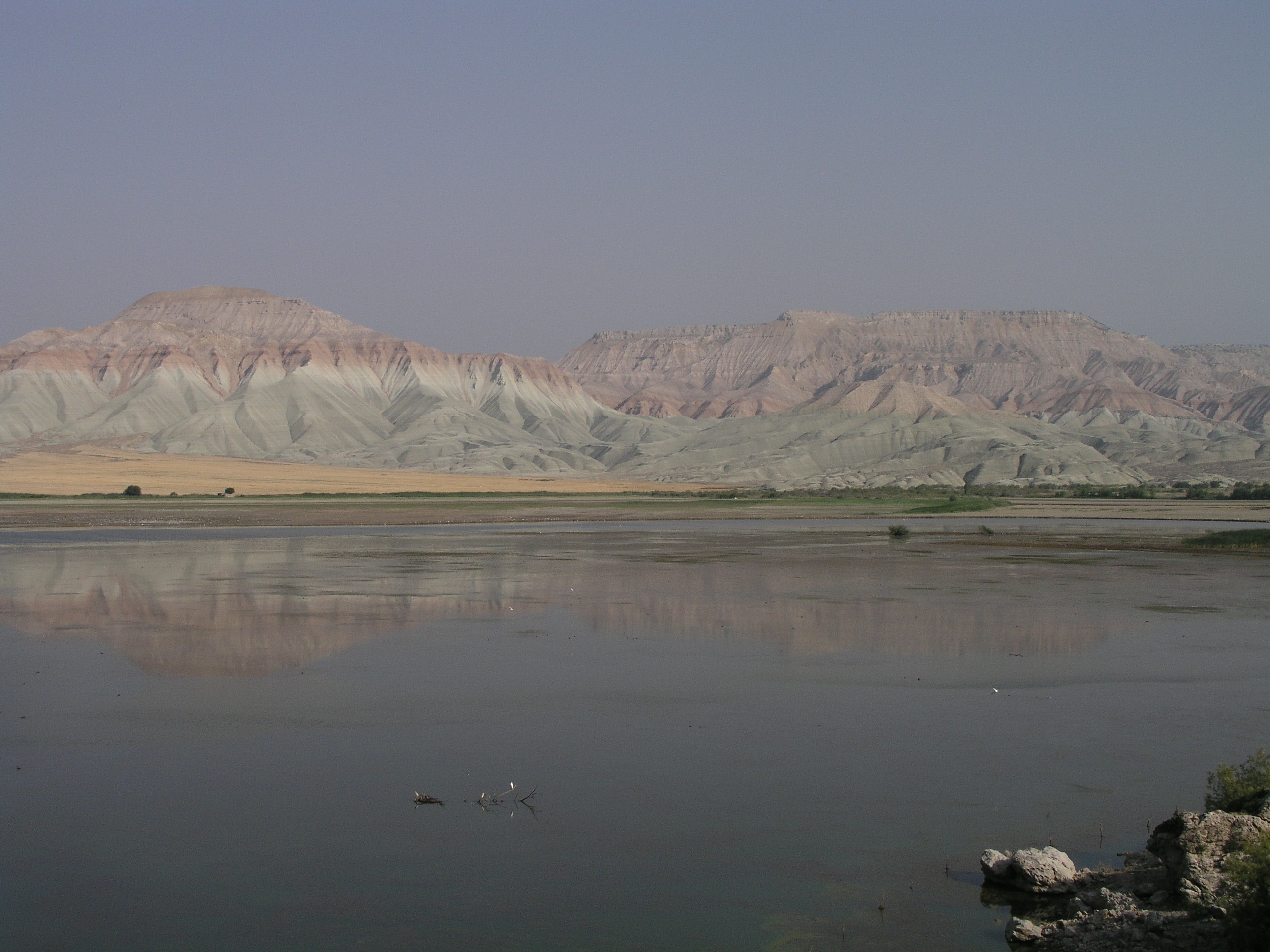
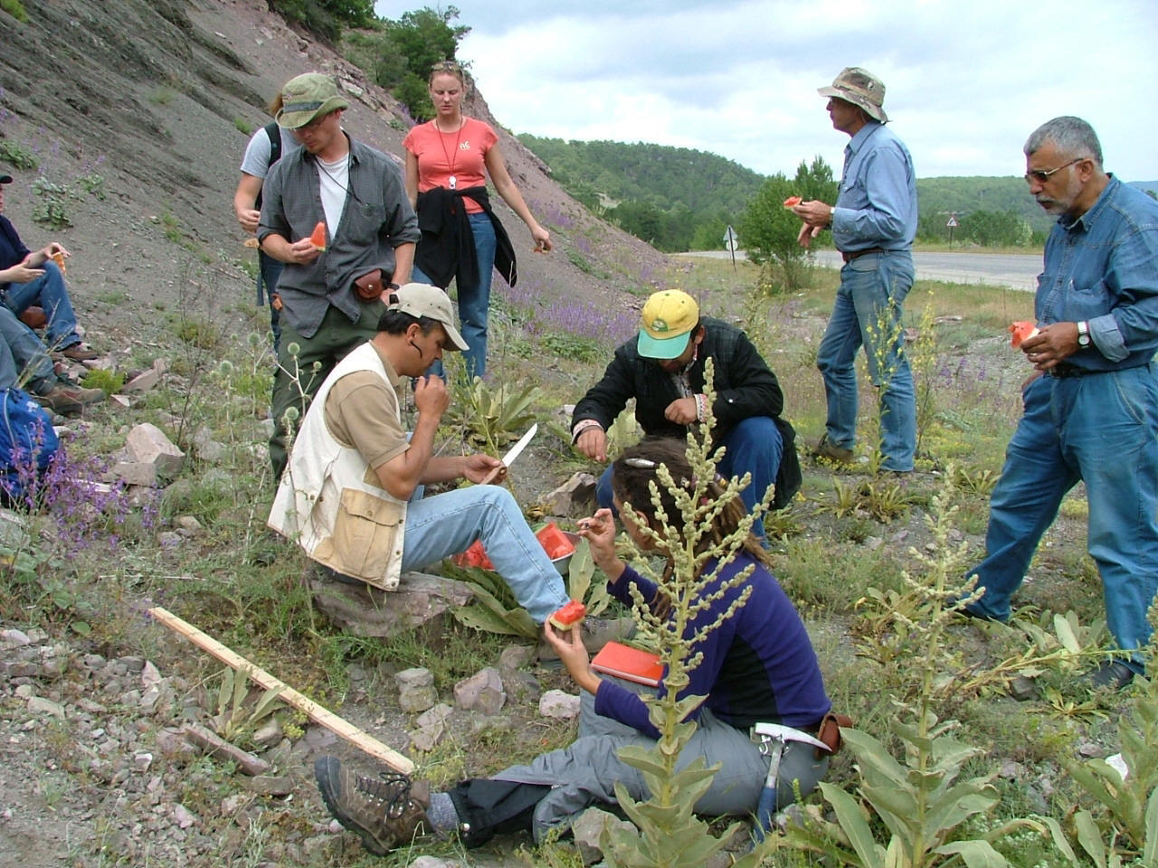
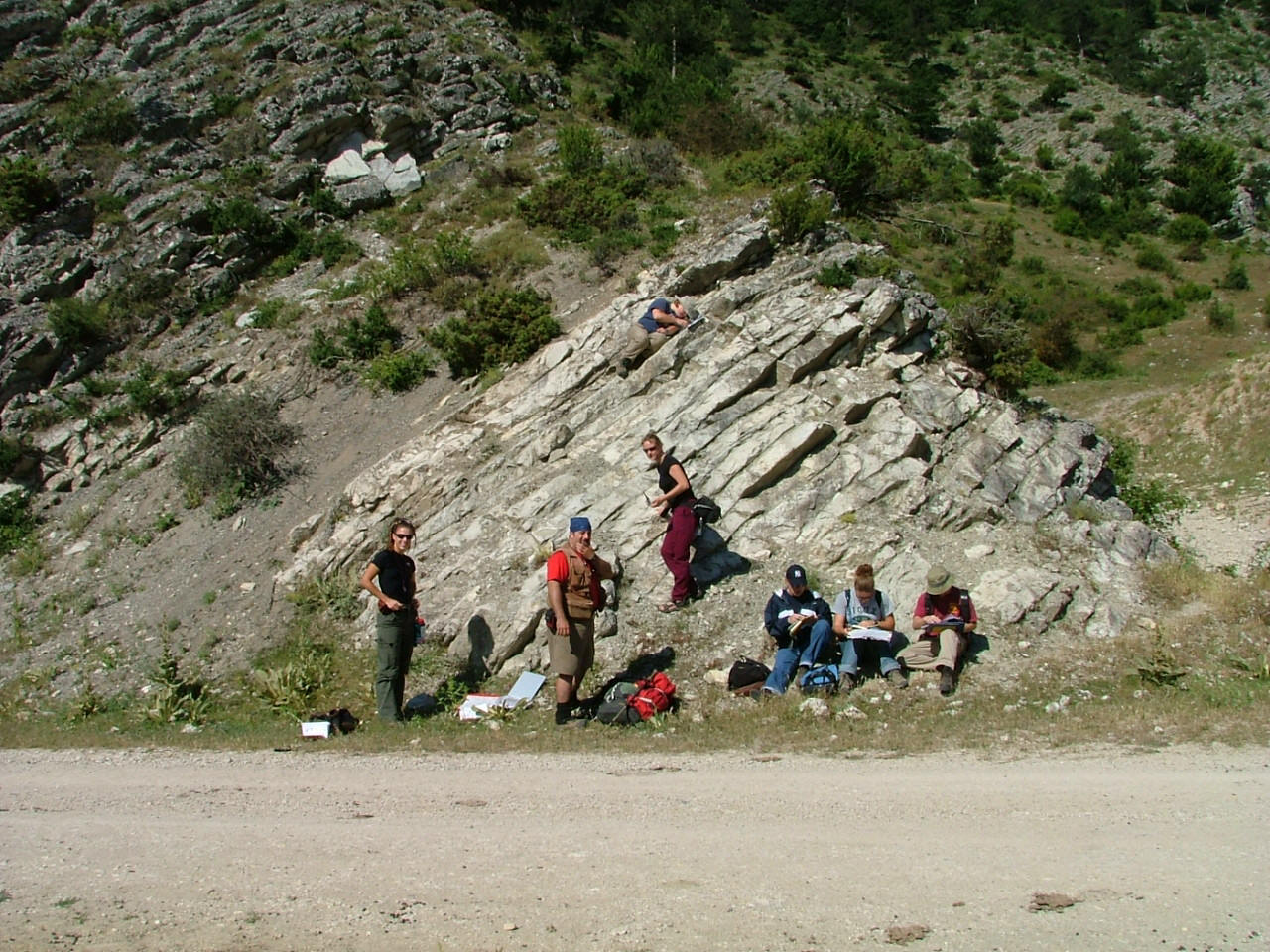
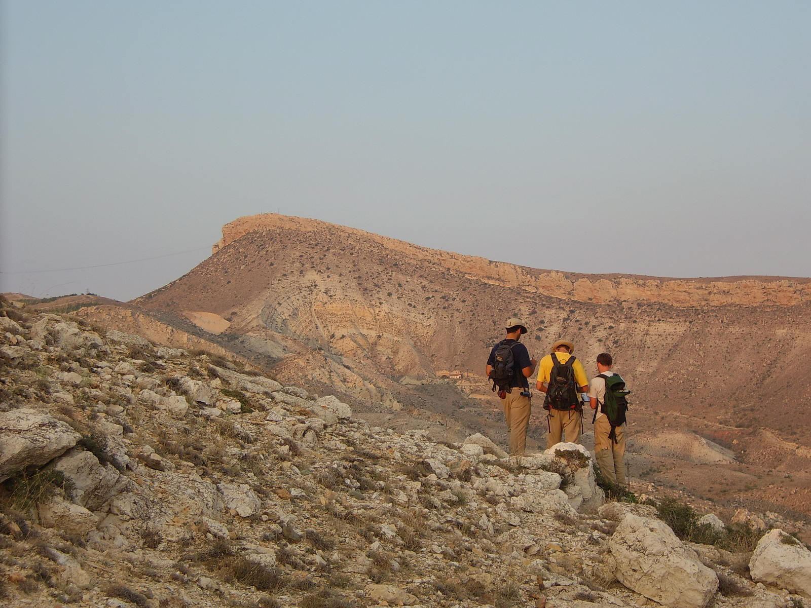
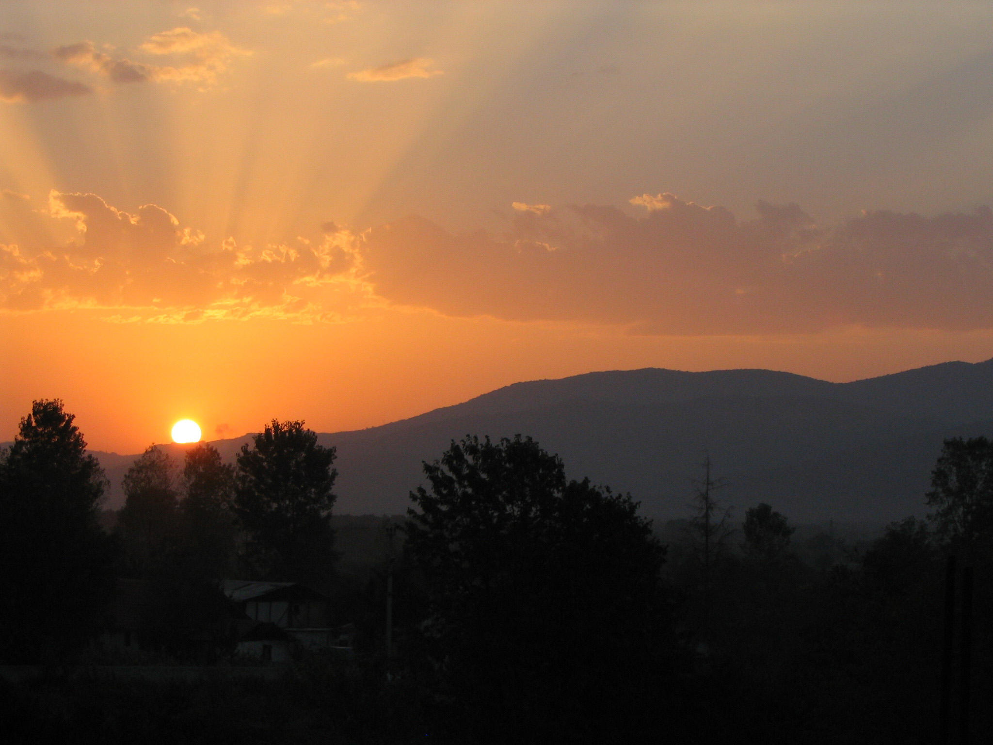
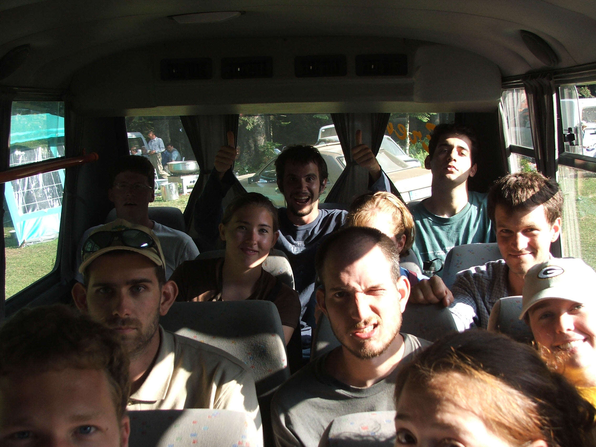
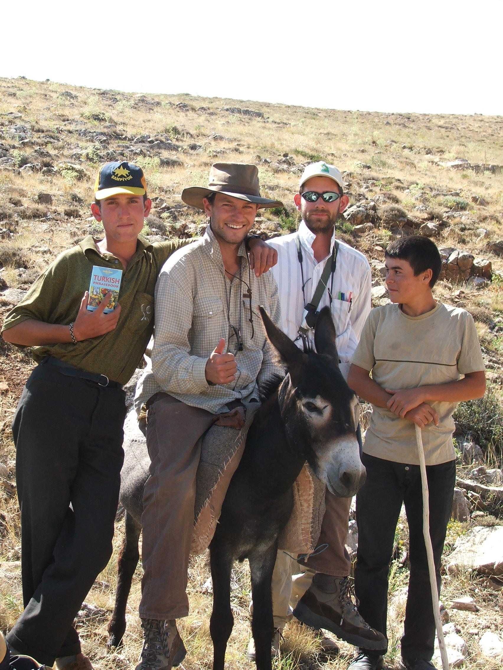
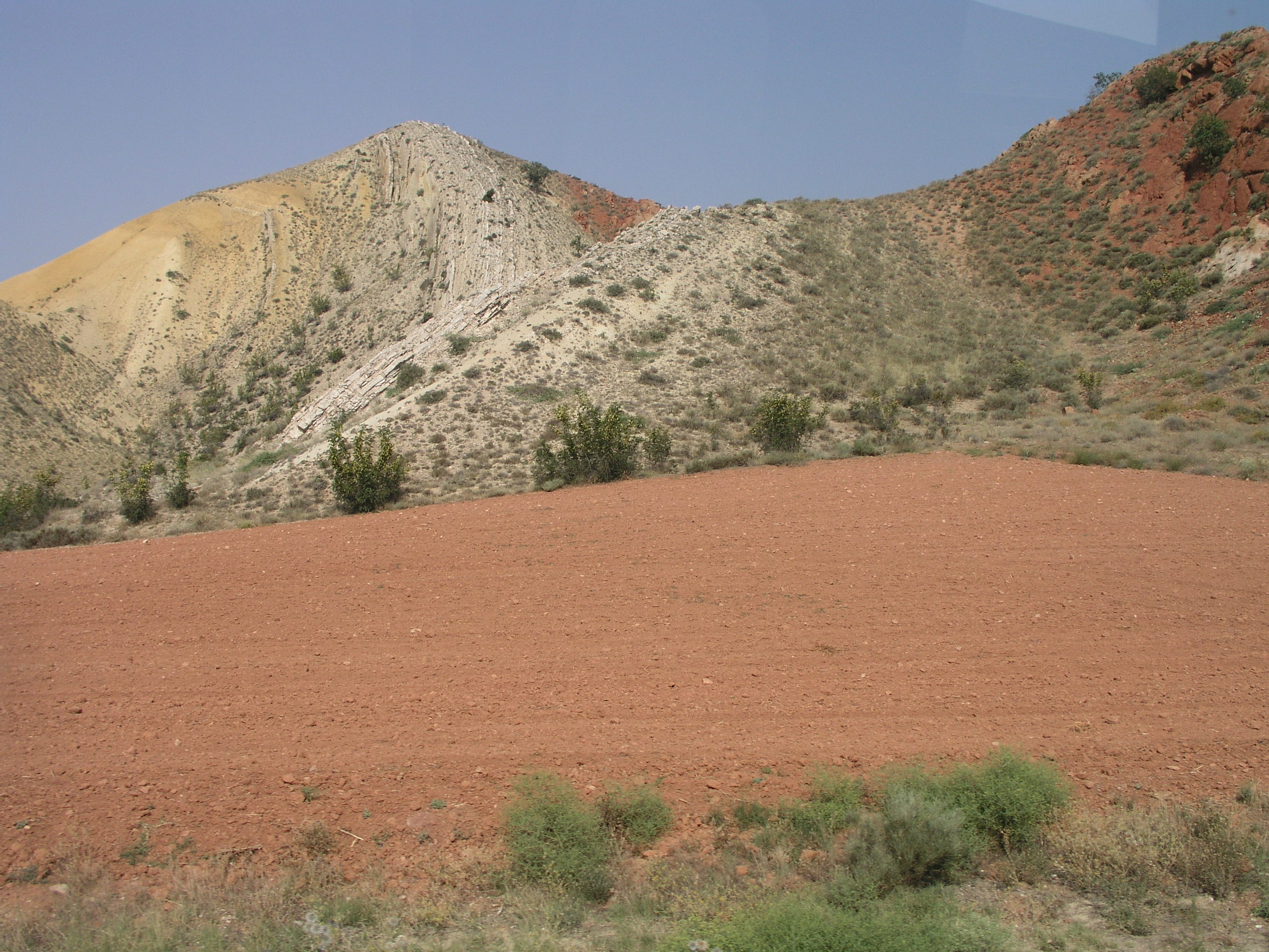
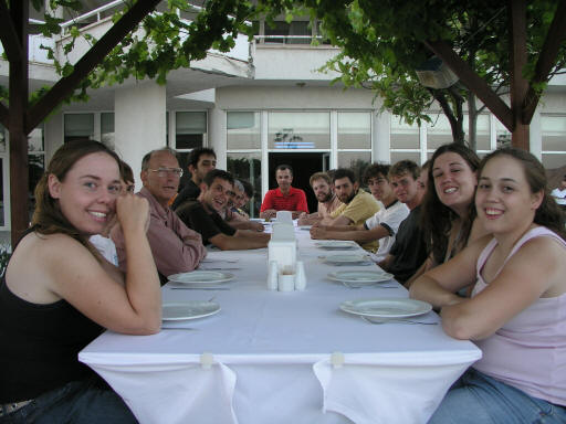
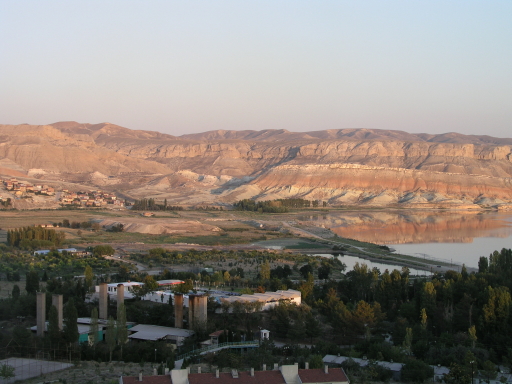
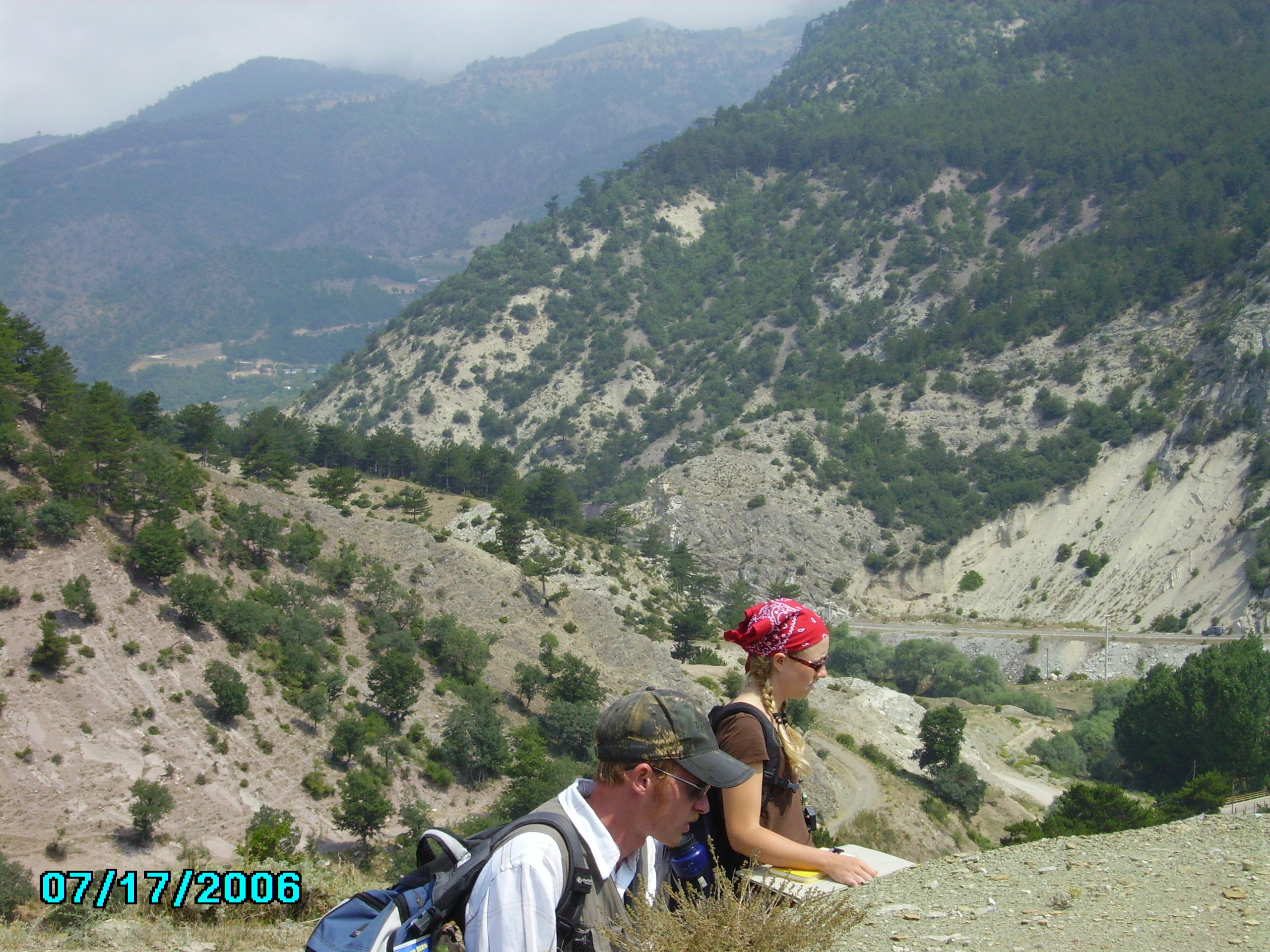
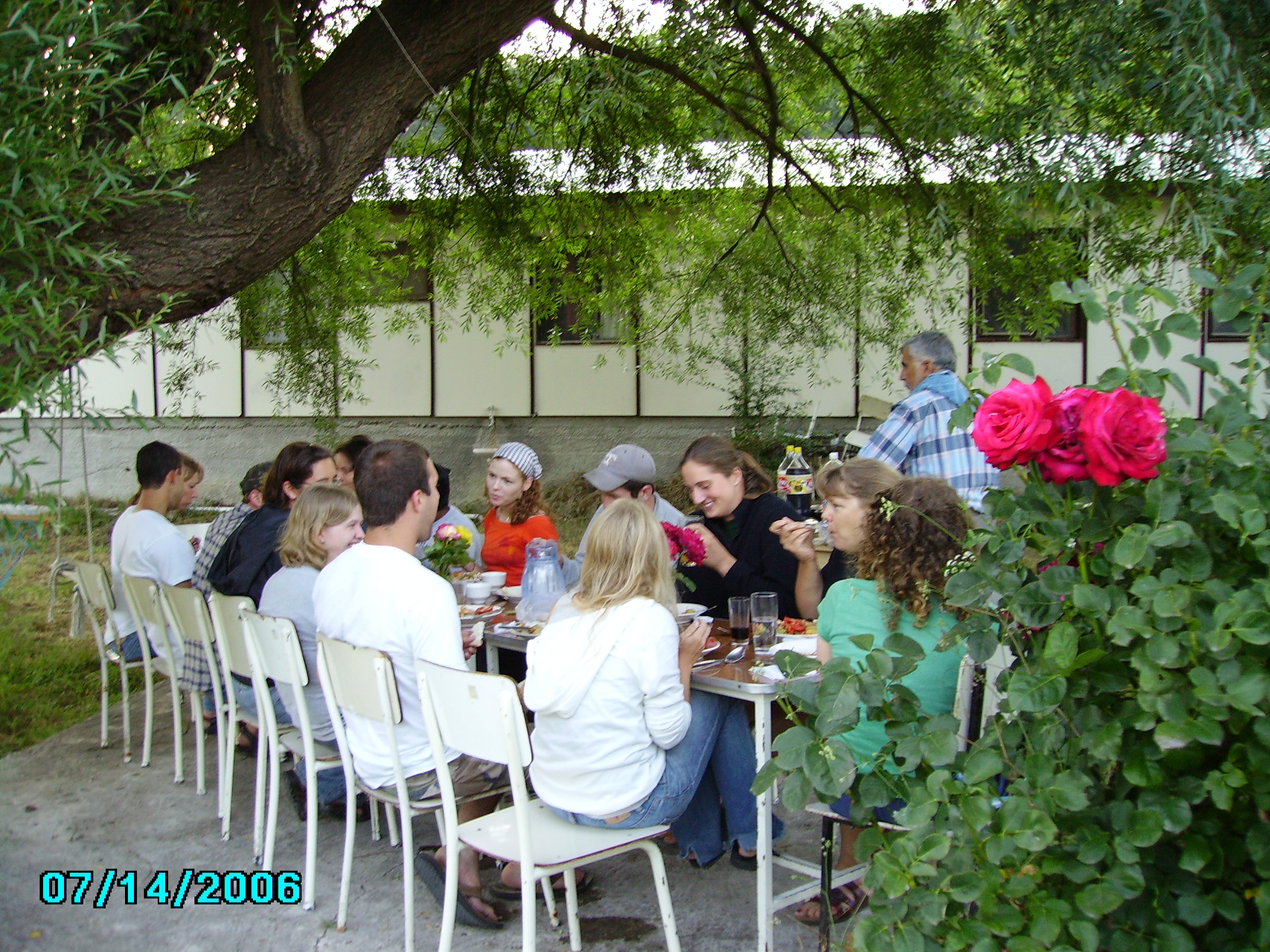
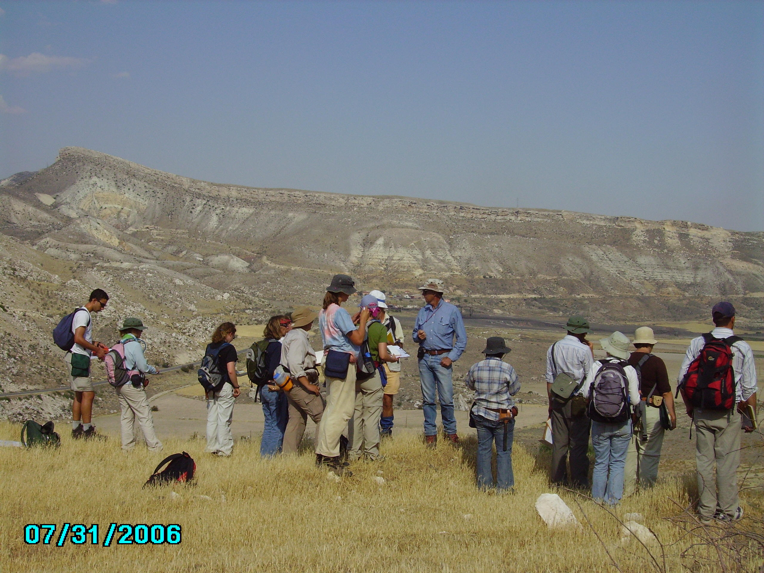
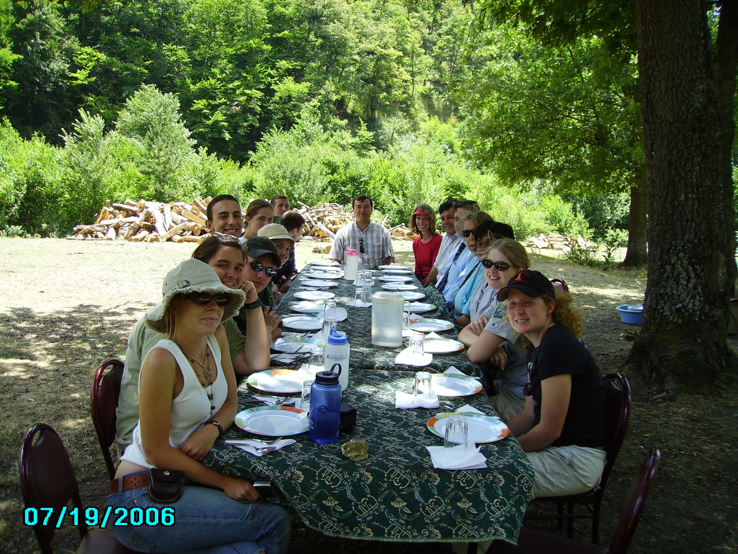
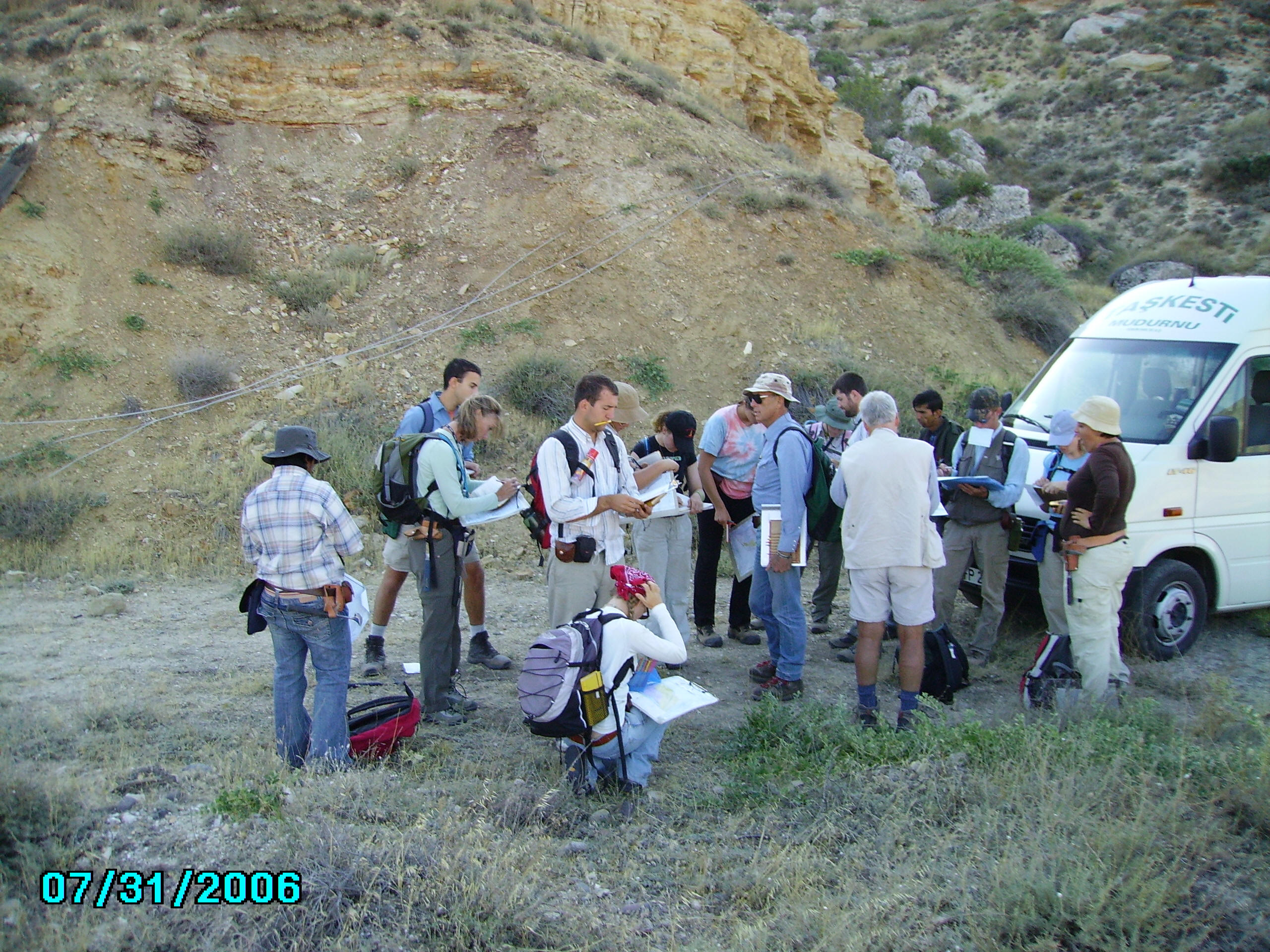
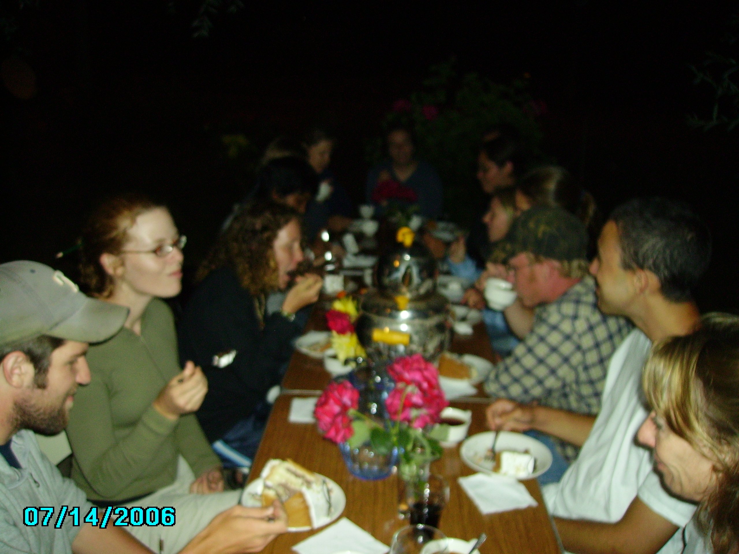
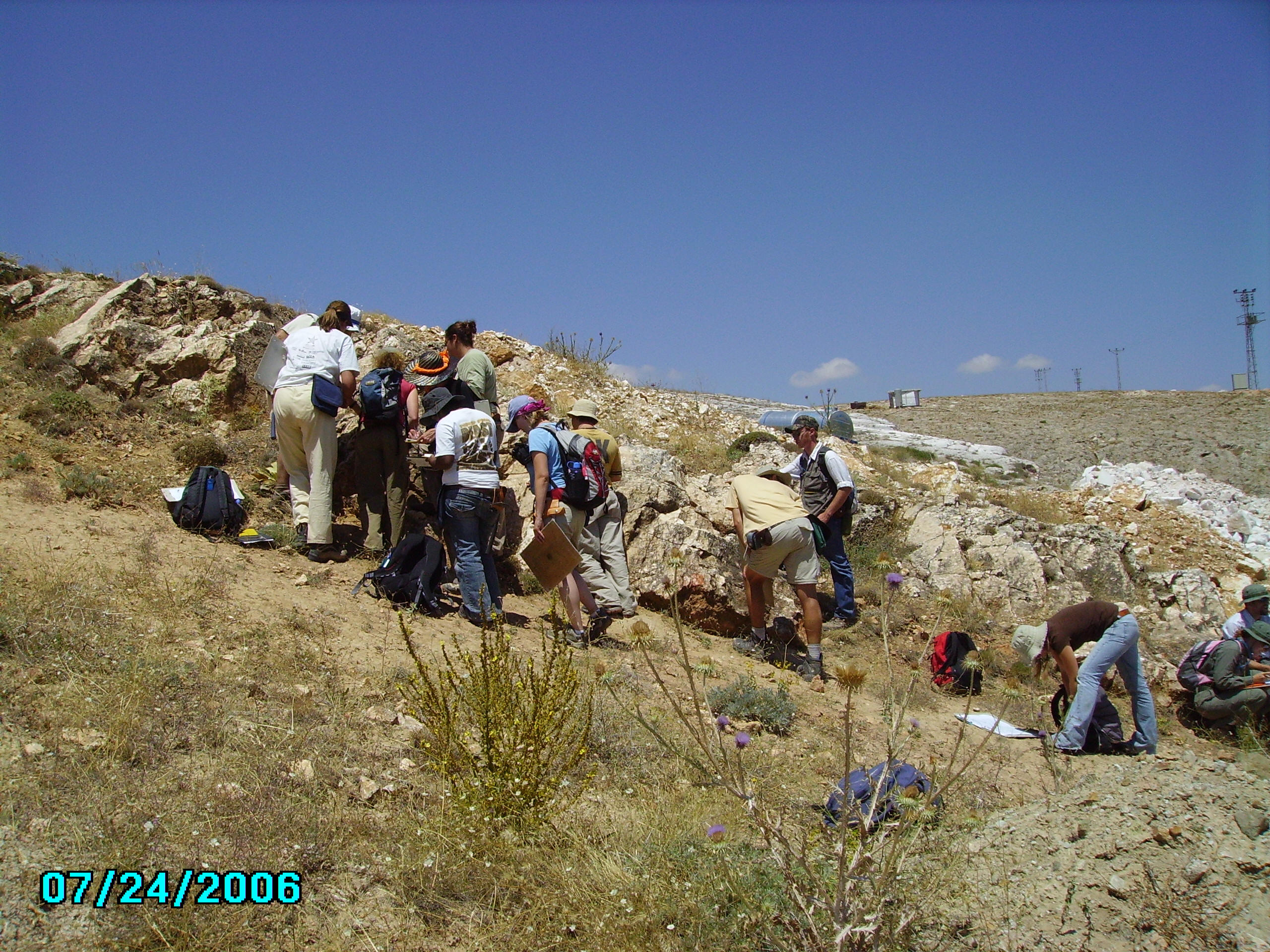
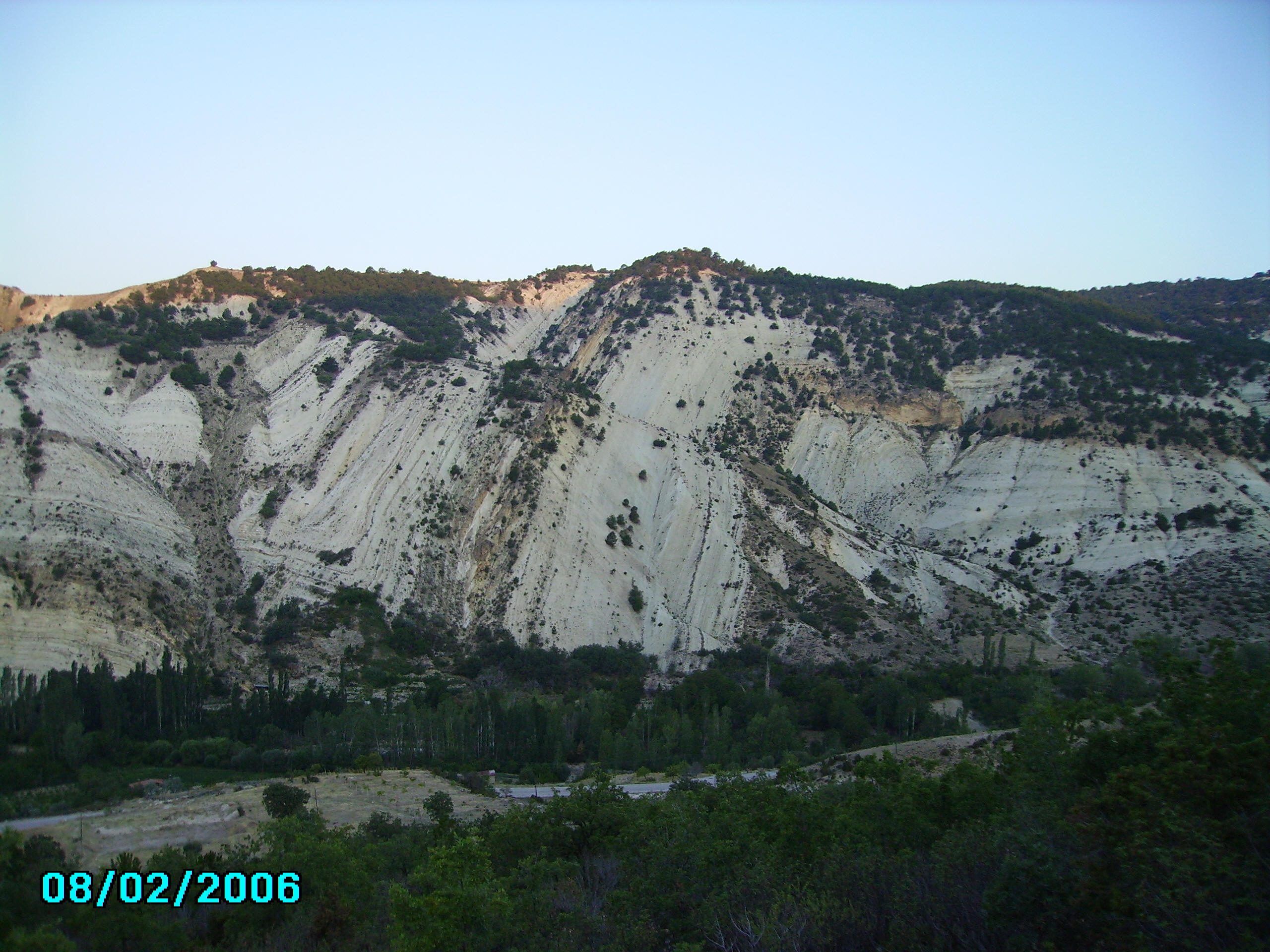
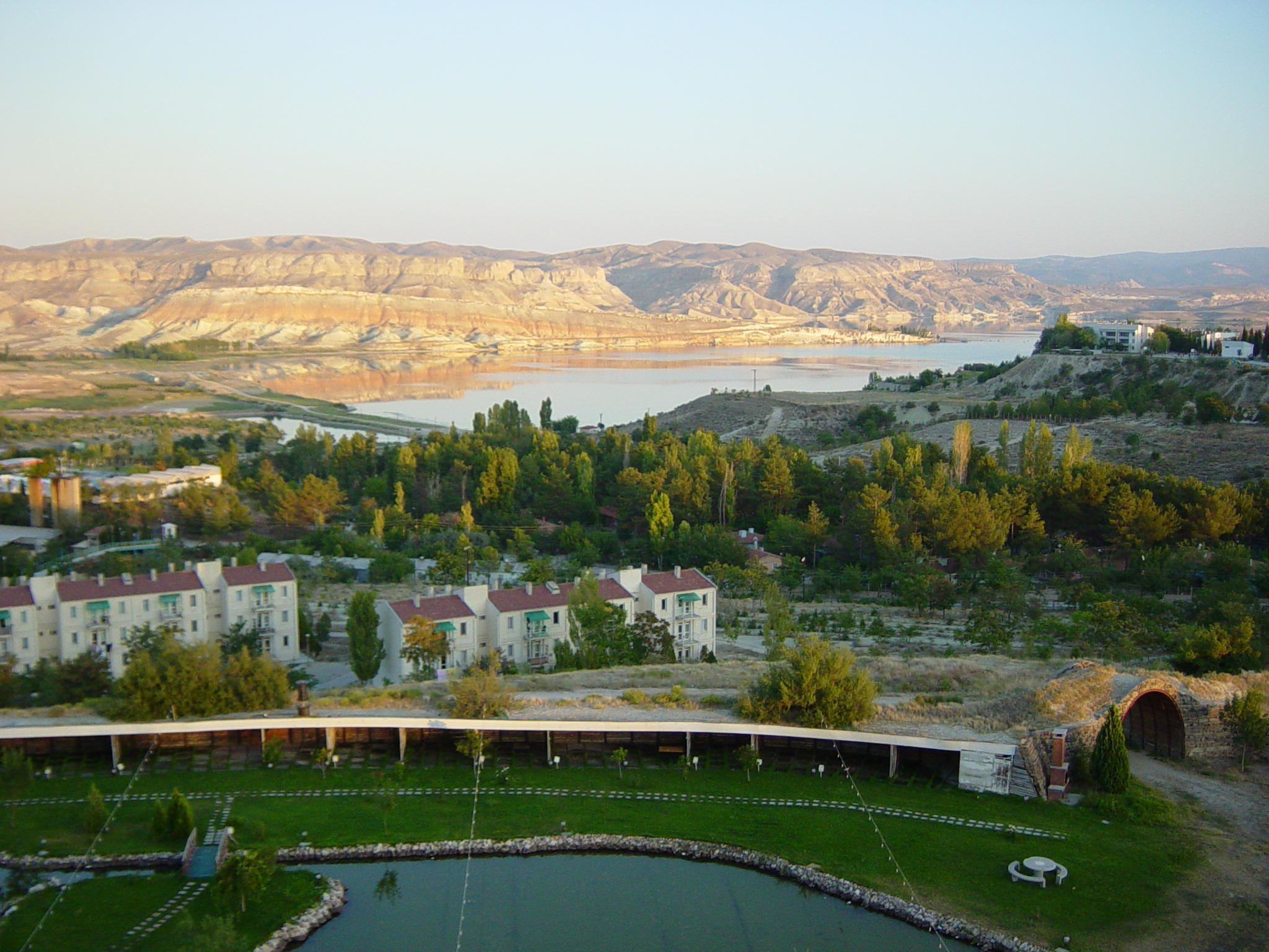
Photographs from the annual geology field camp on the North Anatolian Fault Zone (NAFZ) in western Türkiye. Locations documented include Cayirhan, Elmacik, Taskesti, and Suluklu Göl. Images show students engaged in geological mapping, fault characterization, outcrop work, and field sessions across the active tectonic landscape of western Anatolia.
For full program details, dates, and costs, see the Türkiye Field Camp page. To contribute photos from a recent session, contact nuri.uzunlar@sdsmt.edu.
North Anatolian Fault mapping (2024)
Structural geology near Taskesti
Mapping in western Türkiye
Fault exposure study, NAFZ
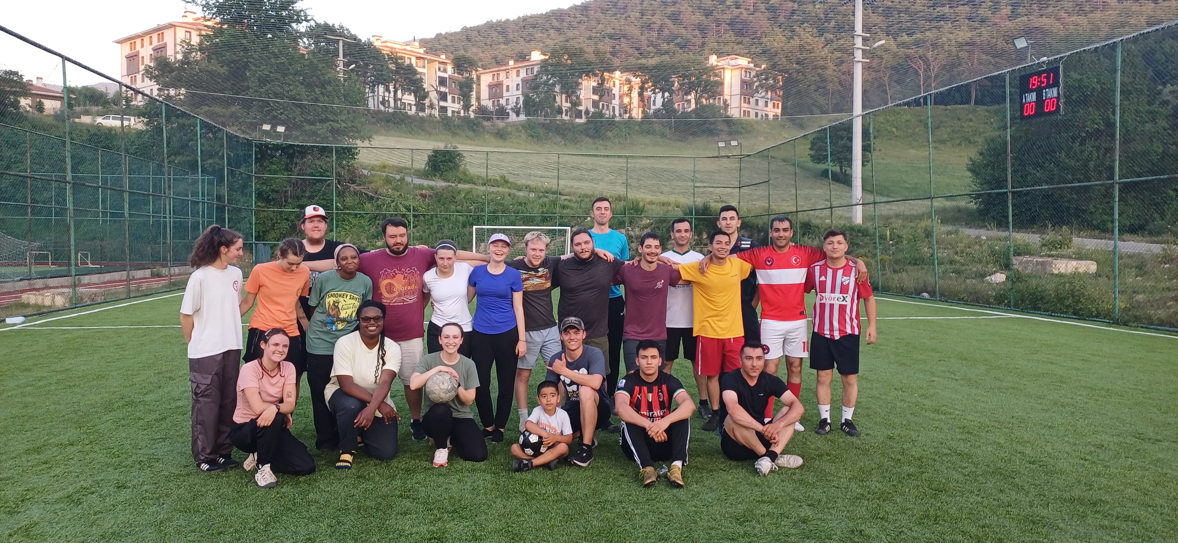
Field camp group at NAFZ outcrop
.jpg)
Cayirhan Formation (339)
.JPG)
Cayirhan Formation (121)
.JPG)
Cayirhan Formation (115)
Çelebî-Ankara area (212)
.jpg)
Cayirhan Formation (335)
Elmacik geological site (048)
Elmacik mapping site (093)
.jpg)
Cayirhan Formation (3)
Cayirhan Formation landscape
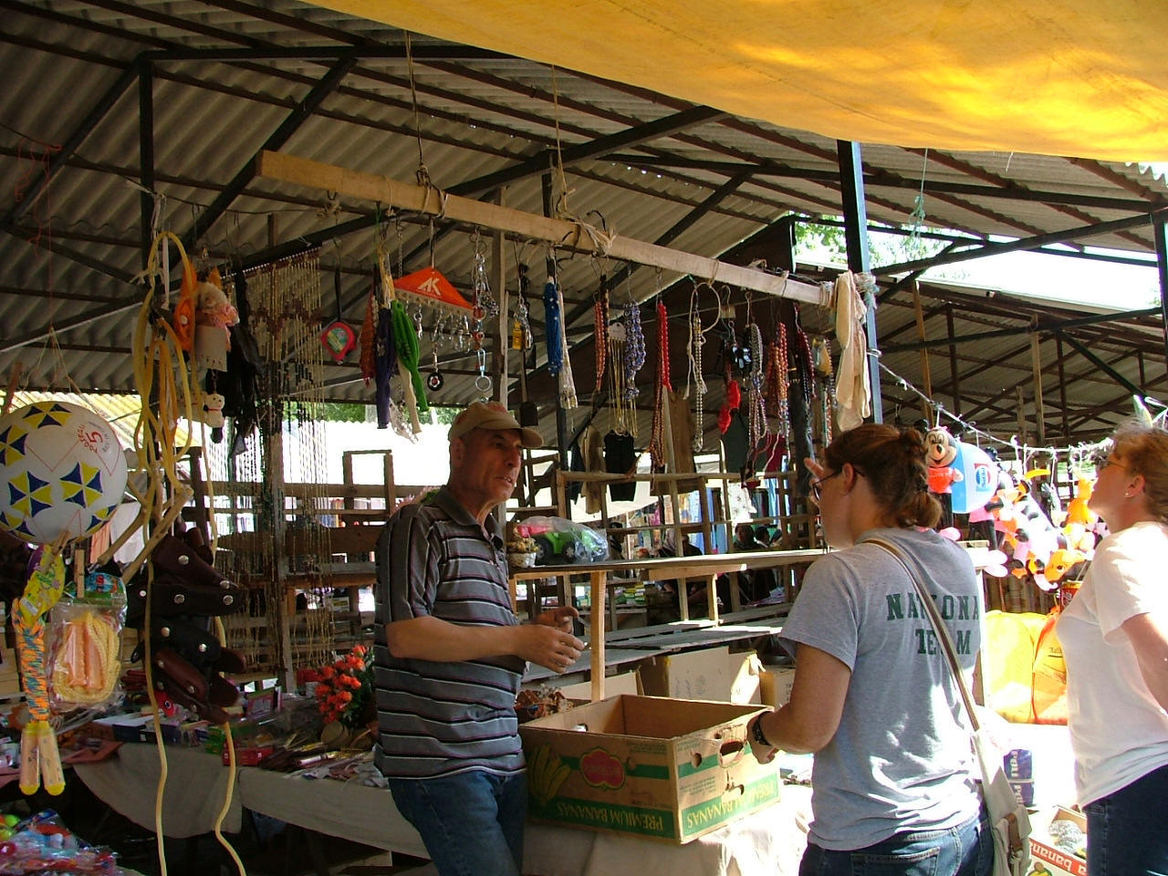
Taskesti village and market
Taskesti field camp site
Geologic mapping near Taskesti

Suluklu Göl area
Turkey field site 4A
Turkey field site 3A
Turkey field site 7A
Turkey field site 7B

Turkey field site 4B

Çelebî-Ankara area (365)
Field camp outcrop study
Sedimentary structures, Türkiye
Geological site study, Türkiye
Structural mapping, Türkiye
Field camp geological site
Structural data collection
Field camp outcrop
Geologic mapping session
Rock formation study
Field camp geology site
Sedimentary features
Geological outcrop, field camp
Structural geology study
Turkey field camp locality
Field camp site
Türkiye fieldwork
Field camp archive (6a)
Photography documents student field activities including fault scarp mapping, structural measurement, rock outcrop analysis, and team fieldwork across the North Anatolian Fault Zone. Localities covered span the Abant Valley region approximately 200 km east of Istanbul, providing access to some of the most active and well-exposed strike-slip fault geology in the world.